Katsho Gewog
Katsho Gewog (Dzongkha: སྐར་ཚོགས་, Kar-tshog Gewog) is a gewog (village block) of Haa District, Bhutan.[1] Before substantial border changes, the gewog in 2007 had an area of 42.3 square kilometres and contained 10 villages and 247 households.[2]
Katsho Gewog སྐར་ཚོགས་ | |
|---|---|
 Katsho Gewog | |
| Coordinates: 27°24′03″N 89°17′28″E | |
| Country | |
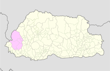
| District | Haa District |
| Time zone | UTC+6 (BTT) |
References
- "Chiwogs in Haa" (PDF). Election Commission, Government of Bhutan. 2011. Archived from the original (PDF) on 2011-10-02. Retrieved 2011-07-28.
- "Katsho Gewog Ninth Plan (2002-2007)" (PDF). Haa Dzongkhag Royal Government of Bhutan. Retrieved August 25, 2010.
| Central Bhutan Zone | |||||||||||||||||
|---|---|---|---|---|---|---|---|---|---|---|---|---|---|---|---|---|---|
| Southern Bhutan Zone |
| ||||||||||||||||
| Western Bhutan Zone |
| ||||||||||||||||
| Eastern Bhutan Zone | |||||||||||||||||
| Former Gewogs |
| ||||||||||||||||
This article is issued from Wikipedia. The text is licensed under Creative Commons - Attribution - Sharealike. Additional terms may apply for the media files.