Kanteikulia
Kanteikulia is a small village and panchayat in Angul district, Odisha, India.[1] The Khandanal River flows near the village. It is surrounded by sal forest. It is reached via National Highway 42 and about 6 kilometres (3.7 mi) north of Boinda, near the edges of the Bamur Forest Range.[2] The panchayat covers an area of 591 acres (239 ha) Kanteikulia contains a notable Hindu temple, dedicated to Shiva. Some people write this place as ``Kanteikolia.''[3]
Kanteikulia Kanteikulia | |
|---|---|
Village and panchayat | |
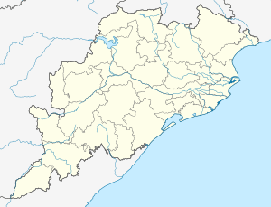 Kanteikulia Location in Odisha, India  Kanteikulia Kanteikulia (India) | |
| Coordinates: 20°58′39″N 84°45′16″E | |
| Country | |
| State | Odisha |
| District | Angul |
| Tehsil | Kishorenagar |
| Languages | |
| • Official | Odia |
| Time zone | UTC5:30 (IST) |
| Vehicle registration | OD-35 (before OD-19/OR-19) |
An upper primary school, a post office and an ayurvedic dispensary situated there.
References
- "Government of Orissa". Retrieved 21 May 2010.
- Maps (Map). Google Maps.
- "Kanteikolia". 2011 Census of India. Government of India. Archived from the original on 13 December 2016. Retrieved 15 December 2016.
- "Orissa GIS Maps". odishapanchayat.gov.in. Archived from the original on 29 July 2016. Retrieved 8 August 2016.
This article is issued from Wikipedia. The text is licensed under Creative Commons - Attribution - Sharealike. Additional terms may apply for the media files.