Kandep District
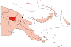
Kandep District[1] is one of the five Districts of Enga Province, Papua New Guinea. It is located in the southern part of Wabag, capital town of Enga. Kandep shares land borders between Laiagam-Porgera district, Wabag, and Wapenimanda District. It also shares borders with Southern Highlands, Western highlands and the newly breakaway Hela Province. Kandep is accessible by road, and the Kandep - Laiagam Road links to Wabag which is 3 hours drive back and forth. The Kandep - Mendi road, a newly sealed road can be used to travel to Mt. Hagen via Mendi. The Kandep - Magarima Road is also connected.
Kandep District | |
|---|---|
 Location of Enga Province | |
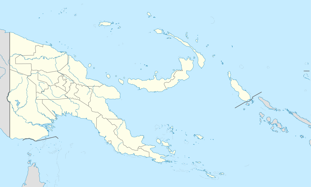 Kandep District Location within Papua New Guinea | |
| Coordinates: 5°25′S 143°30′E | |
| Country | Papua New Guinea |
| Province | Enga Province |
| Capital | Wabag |
| LLGs | |
| Area | |
| • Total | 2,001 km2 (773 sq mi) |
| Elevation | 2,000 m (7,000 ft) |
| Population (2011 census) | |
| • Total | 73,102 |
| • Density | 37/km2 (95/sq mi) |
| Time zone | UTC+10 (AEST) |
Kandep was formed due to volcanic eruption of Mt. Sugarloaf, and thus has many crater lakes; the largest being the Pakelem Lake of Lyumbi Island.
The people of Kandep live in tribes and land is owned by individual tribes. Kandep is one of the worst higher altitude tropical frost victims.
Kandep has a population of approximately 73,000.
Kandep has two LLGs, Lai Rural LLG and Wage Rural LLG. Having divided by the long swamp, extending from north to south, Lai Rural LLG lies on the east and Wage on the west of the swamp.
References
- http://www.igr.gov.pg Archived 2014-03-16 at the Wayback Machine