Kamenný Most (Nové Zámky District)
Kamenný Most (Hungarian: Kőhídgyarmat) is a village and municipality in the Nové Zámky District in the Nitra Region of south-west Slovakia.
Kamenný Most Kőhídgyarmat | |
|---|---|
village | |
 | |
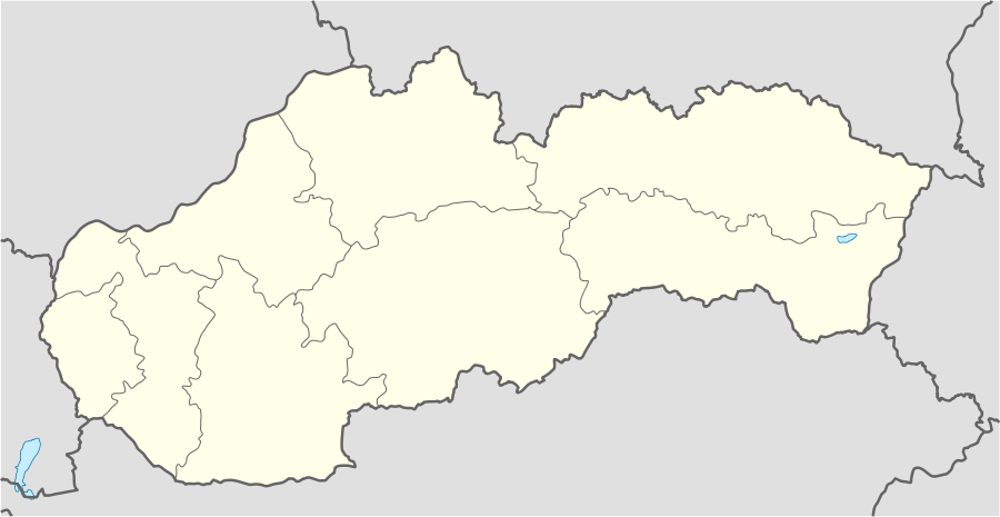 Kamenný Most Location in Slovakia | |
| Coordinates: 47°51′12″N 18°39′15″E | |
| Country | Slovakia |
| Region | Nitra |
| District | Nové Zámky |
| Founded | 1271 |
| Government | |
| • Mayor | László Magát |
| Area | |
| • Total | 20.34 km2 (7.85 sq mi) |
| Elevation | 111 m (364 ft) |
| Population (2011) | |
| • Total | 1,054 |
| • Density | 52/km2 (130/sq mi) |
| Time zone | UTC+1 (CET) |
| • Summer (DST) | UTC+2 (CEST) |
| Postal code | 943 58 |
| Area code(s) | +421-36 |
| Car plate | NZ |
| Website | http://www.parkany.sk/kamennymost |
History
In historical records the village was first mentioned in 1271 After the Austro-Hungarian army disintegrated in November 1918, Czechoslovak troops occupied the area, later acknowledged internationally by the Treaty of Trianon. Between 1938 and 1945 Kamenný Most once more became part of Miklós Horthy's Hungary through the First Vienna Award. From 1945 until the Velvet Divorce, it was part of Czechoslovakia. Since then it has been part of Slovakia.
Population
On 31 December 2011, it had a population of 1054 people.[1]
References
- "Archived copy". Archived from the original on 2013-09-21. Retrieved 2013-10-02.CS1 maint: archived copy as title (link) Štatistický úrad Slovenskej republiky – 31. december 2011 (ZIP 128,1 kB)
Genealogical resources
The records for genealogical research are available at the state archive "Statny Archiv in Nitra, Slovakia"
- Roman Catholic church records (births/marriages/deaths): 1720-1895 (parish A)
External links
- https://web.archive.org/web/20070513023228/http://www.statistics.sk/mosmis/eng/run.html
- Kamenný Most – Nové Zámky Okolie
- Surnames of living people in Kamenny Most