Kamembe Airport
Kamembe International Airport, (IATA: KME, ICAO: HRZA), is an airport in Rwanda. RwandAir operates a Dash 8-Q400 with seven flights per week to and from Kigali International Airport. The airport receives charter flights from Tanzania, Uganda and the Democratic Republic of the Congo, though not on a regular schedule. During the Rwandan Civil War, Kamembe airport was suggested as a site for transiting French arms to the interim government after April 1994.[1]
Kamembe International Airport | |||||||||||
|---|---|---|---|---|---|---|---|---|---|---|---|
 Kamembe airport terminal seen from the runway, 2017 | |||||||||||
| Summary | |||||||||||
| Airport type | Civil | ||||||||||
| Owner | Rwandan Government | ||||||||||
| Operator | Rwanda Airports Authority | ||||||||||
| Serves | Cyangugu | ||||||||||
| Location | Kamembe, Rwanda | ||||||||||
| Elevation AMSL | 5,192 ft / 1,583 m | ||||||||||
| Coordinates | 02°27′23″S 28°54′35″E | ||||||||||
| Map | |||||||||||
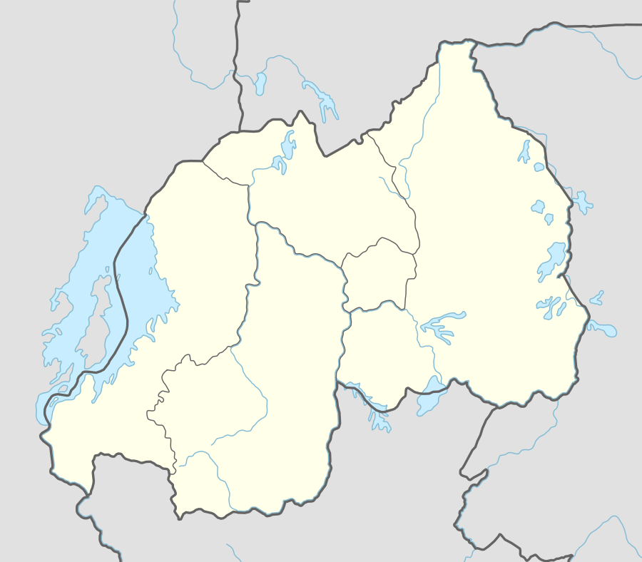 KME Location of the airport in Rwanda | |||||||||||
| Runways | |||||||||||
| |||||||||||
Location
Kamembe Airport is located approximately 5 kilometres (3 mi), by road, north of Cyangugu's central business district, Rusizi District, in the Western Province of Rwanda.[2] The airport is located approximately 147.5 kilometres (92 mi), by air, southwest of Kigali International Airport, the largest airport in the country.[3] It sits at an altitude of 5,192 feet (1,583 m) above mean sea level.[4] The geographical coordinates of Kamembe Airport are: 02°27'23.0"S, 28°54'35.0"E (Latitude:-2.456389; Longitude:28.909722).[5]
Overview
Kamembe is a medium airport with one paved runway 02/20 that measures 4,921 feet (1,500 m) long and 148 feet (45 m) wide.[4]
History
The airport terminal building was heavily damaged by a 2008 earthquake,[6] and early in 2010 the Rwanda government announced that Kamembe Airport would be repaired and modernized.[7]
By the end of 2012 a new terminal was completed, a new control tower was opened, and Techno Sky, a branch of the Italian publicly owned ENAV corporation, had installed new navigation systems.[8]
During a May 2013 visit, Infrastructure Minister Albert Nsengiyumva announced that the runway would be widened and lengthened from 1.5 kilometres (4,900 ft) to 2 kilometres (6,600 ft) by 2015.[9] The airport re-opened in June 2015 and RwandAir began scheduled flights from the airport.[10]
References
- Alison Des Forges (March 1999). Leave None to Tell the Story: Genocide in Rwanda – Acknowledging Genocide. New York City: Human Rights Watch. ISBN 1-56432-171-1. Retrieved 31 May 2020.
- Google (31 May 2020). "Road Distance Between Rusizi Taxi Park, Cyangugu and Kamembe Airport in Rwanda" (Map). Google Maps. Google. Retrieved 31 May 2020.
- Globefeed.com (31 May 2020). "Distance between Kigali International Airport KGL and Kamembe Airport KME, Flight Time/Duration". Globefeed.com. Retrieved 31 May 2020.
- Great Circle Mapper (31 May 2020), Kamembe Airport (HRZA/KME), Greatcirclemapper.net, retrieved 31 May 2020
- Google (31 May 2020). "Location of Kamembe Airport, Rwanda" (Map). Google Maps. Google. Retrieved 31 May 2020.
- Church Mission Society (4 February 2008). "Earthquake hits Rwanda and Congo". Oxford, United Kingdom: Churchmissionsociety.org. Retrieved 31 May 2020.
- Gérard Rugambwa (31 May 2010). "Kamembe Airport Will Be Rehabilitated" (Archived from the original on 16 March 2012). Kigali: Rwanda Information Office (ORINFOR). Retrieved 31 May 2010.
- Ndahiro, A; Rwagatare, J. (eds.). Rwanda: Rebuilding of a Nation. African Books Collective. p. 161. Retrieved 31 May 2020.
- "Kamembe airport upgrade to boost tourism industry". New Times. Kigali. 29 September 2014. Retrieved 31 May 2020.
- Wolfgang Thome (15 June 2015). "Kamembe Airport ready to open new runway". eTurboNews.com. Retrieved 31 May 2020.
- New Times Rwanda (5 March 2010). "RwandAir to resume daily flights to Kamembe". New Times (Rwanda). Kigali. Retrieved 31 May 2020.
External links
- Rwandair resumes Nairobi flights after two weeks lapse As of 8 December 2009.