Kalannie, Western Australia
Kalannie is a small town in the Shire of Dalwallinu, in the Wheatbelt region of Western Australia, approximately 259 kilometres (161 mi) north-east of the state capital, Perth.
| Kalannie Western Australia | |
|---|---|
.JPG) Roche Street, Kalannie, 2014 | |
 Kalannie | |
| Coordinates | 30.36°S 117.12°E |
| Population | 287 (2006 census)[1] |
| Established | 1929 |
| Postcode(s) | 6468 |
| Elevation | 345 m (1,132 ft) |
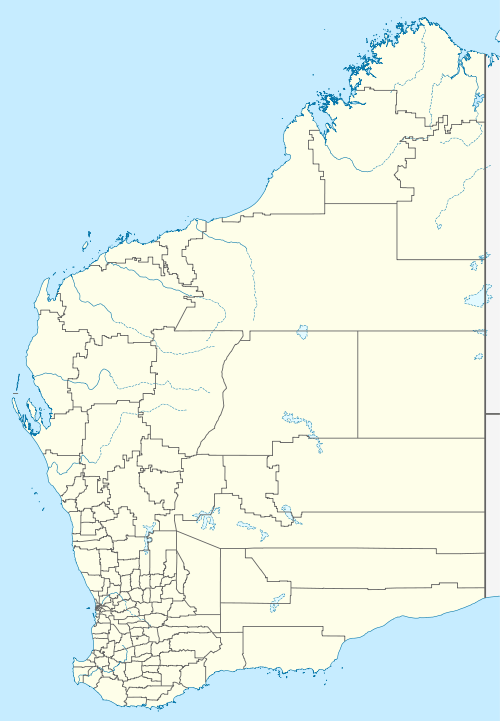
| Location |
|
| LGA(s) | Shire of Dalwallinu |
| State electorate(s) | Moore |
| Federal Division(s) | Durack |
Kalannie was gazetted as a townsite in 1929. The name is Aboriginal, and is in a list of names from the York area where the meaning is given as "where the Aboriginals got white stone for their spears".[2]
In 1932 the Wheat Pool of Western Australia announced that the town would have two grain elevators, each fitted with an engine, installed at the railway siding.[3]
The main resources in Kalannie are wheat and gypsum. Kalannie is connected to the narrow gauge rail network from a branch-line on the Amery to Bonnie Rock section. The town is a receival site for Cooperative Bulk Handling.[4]
References
- Australian Bureau of Statistics (25 October 2007). "Kalannie (State Suburb)". 2006 Census QuickStats. Retrieved 20 September 2008.
- Western Australian Land Information Authority. "History of country town names – K". Retrieved 8 June 2007.
- "Country elevators". The West Australian. Perth: National Library of Australia. 6 July 1932. p. 10. Retrieved 6 April 2013.
- "CBH receival sites" (PDF). 2011. Archived from the original (PDF) on 18 March 2012. Retrieved 1 April 2013.