Ilford, Manitoba
Ilford is an Indian settlement in northern Manitoba, Canada. The Mooseocoot IR is located within the community boundary and is populated by the War Lake First Nation.
Ilford | |
|---|---|
 Ilford | |
| Coordinates: 56°03′53″N 95°36′25″W | |
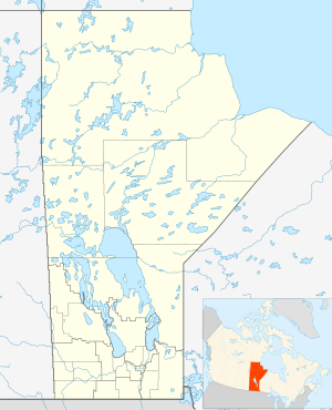
| Country | Canada |
| Province | Manitoba |
The community is named for Ilford, London, United Kingdom.[1]
Ilford is 590 feet above sea level.[2]
Demographics
In the 2011 Census, Ilford had a population of 43 living in 11 of its 11 total private dwellings.[3]
Services
The community provides the following services:[4]
- fire protection by a volunteer fire department with pumper truck,
- Royal Canadian Mounted Police (RCMP)
- Community Health Worker
- Ilford Airport
- Via Rail serve passengers at the Ilford railway station.
- Power provided by Manitoba Hydro
- Telephone service provided by Manitoba Telecom Services
- Chlorinated and filtered water service (sourced from Moose Nose Lake)
- Sewage treatment plant (installed in 1994)
- Julie Lindal School (including Gymnasium)
- Multi-purpose building
- Skating rink
- Gold Trail Hotel
References
- Geographic Board of Canada (1933). Place-names of Manitoba. Ottawa: J. O. Patenaude, acting King's printer. p. 45. Retrieved 11 October 2017.
- "Ilford (Manitoba): Community Profile". RoadsideThoughts. Retrieved 2018-07-10.
- "Corrections and updates: Population and dwelling count amendments, 2011 Census". Statistics Canada. February 14, 2013. Retrieved February 16, 2013.
- https://www.gov.mb.ca/ana/community_profiles/pdf/ilford.pdf
External links
| Cities |  | |
|---|---|---|
| Local government districts | ||
| First Nations | ||
| Indian reserves | ||
| Indian settlements | ||
| Unorganized areas | ||
| Unincorporated communities |
| |
This article is issued from Wikipedia. The text is licensed under Creative Commons - Attribution - Sharealike. Additional terms may apply for the media files.