Hranovnica
Hranovnica is a village and municipality in Poprad District in the Prešov Region of northern Slovakia.
Hranovnica | |
|---|---|
Municipality | |
.jpg) Hranovnica, look at summer cottages part | |
 Coat of arms | |
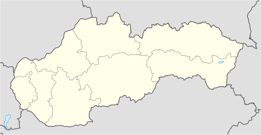 Hranovnica Location of Batizovce in Slovakia | |
| Coordinates: 48°59′15″N 20°18′29″E | |
| Country | Slovakia |
| Region | Prešov |
| District | Poprad |
| Founded | 1294 |
| Area | |
| • Total | 32.661731 km2 (12.610765 sq mi) |
| Elevation | 610 m (2,000 ft) |
| Population (31 December 2010) | |
| • Total | 2,866 |
| • Density | 88/km2 (230/sq mi) |
| Postal code | 059 16 |
| Area code(s) | +421-52 |
| Car plate | PP |
History
In historical records the village was first mentioned in 1294.
Geography
The municipality lies at an altitude of 613 metres and covers an area of 32.662 km². It has a population of about 2860 people.
Infrastructure and economy
Hranovnica is one of the startpoints to Slovenský raj mountain area. The village has a good tourist infrastructure. Cultural sightseeings are Roman Catholic and evangelical churches, both built or reconstructed in classical style.
Genealogical resources
The records for genealogical research are available at the state archive "Statny Archiv in Levoca, Slovakia"
- Roman Catholic church records (births/marriages/deaths): 1820-1905 (parish A)
- Lutheran church records (births/marriages/deaths): 1788-1910 (parish B)
External links
| Wikimedia Commons has media related to Hranovnica. |
- http://www.hranovnica.sk
- https://web.archive.org/web/20160804012106/http://hranovnica.e-obce.sk/
- http://www.slovenskyraj.sk/obce/hranovnica/hranovnica.html
- Surnames of living people in Hranovnica
Municipalities of Poprad District | ||
|---|---|---|
This article is issued from Wikipedia. The text is licensed under Creative Commons - Attribution - Sharealike. Additional terms may apply for the media files.