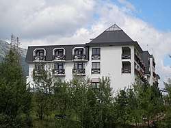
Gerlachov, Poprad District
Gerlachov (German: Gerlsdorf) is a village and municipality in Poprad District in the Prešov Region of northern Slovakia, under the High Tatras.[1] It historically belongs to the Spiš region.
Gerlachov | |
|---|---|
Municipality | |
 | |
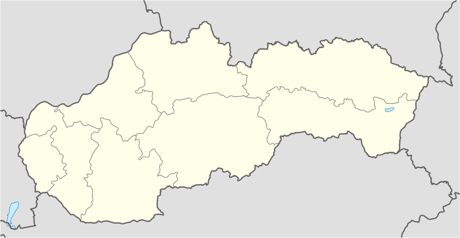 Gerlachov Location of Gerlachov in Slovakia | |
| Coordinates: 49°6′0″N 20°14′0″E | |
| Country | Slovakia |
| Region | Prešov |
| District | Poprad |
| First mentioned | 1326 |
| Area | |
| • Total | 5.2686 km2 (2.0342 sq mi) |
| Elevation | 791 m (2,595 ft) |
| Population (2010-12-31) | |
| • Total | 809 |
| • Density | 150/km2 (400/sq mi) |
| Postal code | 059 42 |
| Area code(s) | +421-52 |
| Car plate | PP |
| Website | www.obecgerlachov.sk |
History
In historical records the village was first mentioned in 1326. The village was established by gold miners, hence the two crossed hammers in the village's coat-of-arms, however, it isn't exactly known when it was established, probably around 1200. The name isn't of certain origin: it could stem from the then mayor of Spišská Sobota (now part of Poprad), Gerlach, or from a leader of colonizers, or from Geröll, a name for rough stones close to the stream Stará voda.[2]
Geography
The municipality lies at an altitude of 791 metres and covers an area of 5.269 km². It has a population of about 804 people. The Gerlachovský štít peak is named after the village.
References
- "Statistical Office of the Slovak Republic" (PDF). Výsledky SODB 2011. Štatistický úrad SR. Archived from the original (PDF) on 2013-10-12. Retrieved 9 August 2012.
- "Obec Gerlachov". Archived from the original on 2007-10-08. Retrieved 2007-10-28.
- Part of the information in this article is based on its German equivalent