Haxey
Haxey is a village and civil parish in North Lincolnshire, England, 22 miles (35 km) north-west of the county town, Lincoln, with a population of 4,584 at the 2011 census.[1]
| Haxey | |
|---|---|
 Interior of St Nicholas' Church, Haxey | |
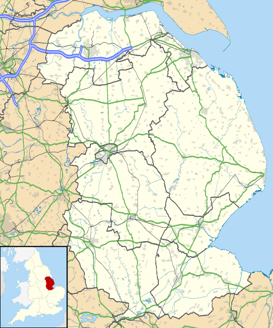 Haxey Location within Lincolnshire | |
| Population | 4,584 (2011 Census) |
| OS grid reference | SK765995 |
| • London | 130 mi (210 km) S |
| Unitary authority | |
| Ceremonial county | |
| Region | |
| Country | England |
| Sovereign state | United Kingdom |
| Post town | DONCASTER |
| Postcode district | DN9 |
| Dialling code | 01427 |
| Police | Humberside |
| Fire | Humberside |
| Ambulance | East Midlands |
| UK Parliament |
|
Haxey lies between the villages of Westwoodside and Owston Ferry, part of the Isle of Axholme, and is notable for Haxey Hood, a local event with over 700 years of history.[2]
Geography
Haxey is on one of a series of low-lying hills which reach a maximum height of 133 feet (41 m) out of the surrounding marshland. The River Trent lies to the east, beyond Owston Ferry.
The civil parish includes the villages of Haxey and Westwoodside, and the hamlets of High Burnham (the highest elevation of the Isle of Axholme),[3] Low Burnham, East Lound, Graizelound and Upperthorpe which is conjoined to Westwoodside.
Community
Haxey, previously the capital of the Isle of Axholme, was destroyed by fire in 1741.[4]
The village Grade I listed Anglican parish church, dedicated to St Nicholas,[5] originates from the 12th and 13th century. It is of mainly Perpendicular Gothic style. The tower is of three stages, with an embattled parapet. Piers of the north arcade are Norman, and those of the south, with the chancel arch and chantry chapel, mainly Early English.[4]
Haxey has a Church of England primary school[6] and a private day nursery.
The village contains three public houses, The Duke William, The Loco and The Kings Arms, two convenience stores, a doctor's surgery, and a local estate agency. Lincolnshire Co-op opened a £1.2 million store in 2013 to some local opposition over loss of village character and other businesses.[7][8][9]
References
- "Civil Parish population 2011". Neighbourhood Statistics. Office for National Statistics. Retrieved 16 May 2016.
- North Lincolnshire District Council. "The Haxey Hood". Archived from the original on 6 February 2012. Retrieved 26 June 2007.
- Stonehouse, William Brocklehurst (1 January 1839). The history and topography of the Isle of Axholme ... Lincolnshire. p. 310.
- Cox, J. Charles (1916) Lincolnshire p. 161; Methuen & Co. Ltd
- Historic England. "Church of St Nicholas (1241103)". National Heritage List for England. Retrieved 24 July 2011.
- "Haxey Church of England Primary School". Archived from the original on 5 August 2012. Retrieved 26 June 2007.
- "Co-op store plans get the go-ahead", The Epworth Bells, 16 April 2012. Retrieved 15 July 2014
- Slack, V. J.; "£1.2m Co-op plan for the Isle" Archived 19 July 2014 at the Wayback Machine, Scunthorpe Telegraph, 11 October 2011. Retrieved 15 July 2014
- "Village shop trade badly hit by new Co-op store" Archived 19 July 2014 at the Wayback Machine, Scunthorpe Telegraph, 11 February 2014. Retrieved 15 July 2014
External links

- Haxey on the Axholme.info site
- Haxey, Genuki.org.uk. Retrieved 24 July 2011
- "Haxey", The Isle of Axholme Family History Society. Retrieved 24 July 2011
- Haxey Parish Council website, Retrieved 24 July 2011
England Portal | |
| Unitary authorities | |
| Boroughs or districts | |
| Major settlements |
|
| Topics | |