Hausstein
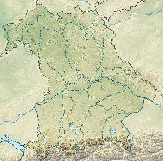
The 917-metre-high (3,009 ft) Hausstein ("House-stone") is a mountain in the Anterior Bavarian Forest, southwest of the Lower Bavarian town of Regen, and northeast of the town of Deggendorf, and is located in the municipality of Schaufling, in the district of Deggendorf.
| Hausstein | |
|---|---|
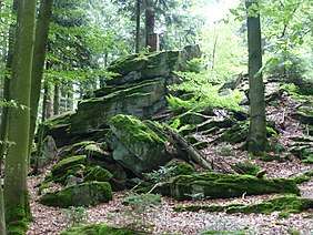 Summit of the Hausstein. View from NE of the rock blocks and the brick tower | |
| Highest point | |
| Elevation | 917 m above sea level (NHN) (3,009 ft) |
| Coordinates | 48°52′17″N 13°04′14″E |
| Geography | |
 Hausstein | |
| Parent range | Bavarian Forest |
| Geology | |
| Type of rock | Gneiss, granite |
The Hausstein is a mountain in Bavaria, Germany.
On the west side of the mountain, there are two ski lifts for Alpine skiers and others, with up to 1,100 metres (3,600 ft), which is part of the ski and cross-country centre of Deggendorf-Rusel-Hausstein. North of the mountain is the Rusel; on the south side is located in panoramic position, the Asklepios Clinic of Schaufling.
References
- This article incorporates text translated from the corresponding article in German Wikipedia.
This article is issued from Wikipedia. The text is licensed under Creative Commons - Attribution - Sharealike. Additional terms may apply for the media files.