Haddatha
Haddatha (Arabic: حداتا)[1] is a village in Bint Jbeil District in Southern Lebanon.
Haddatha حداتا | |
|---|---|
Village | |
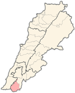
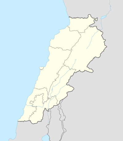 Haddatha Location within Lebanon | |
| Coordinates: 33°10′N 35°23′E | |
| Grid position | 186/285 PAL |
| Country | |
| Governorate | Nabatieh Governorate |
| District | Bint Jbeil District |
| Elevation | 760 m (2,490 ft) |
| Time zone | UTC+2 (EET) |
| • Summer (DST) | UTC+3 (EEST) |
History
In 1596, it was named as a village, ‘“Hadata” in the Ottoman nahiya (subdistrict) of Tibnin under the liwa' (district) of Safad, with a population of 52 households, all Muslim. The villagers paid a fixed tax-rate of 25% on agricultural products, such as wheat, barley, fruit trees, goats and beehives, in addition to "occasional revenues”; a total of 4,640 akçe.[2][3]
In 1838, Edward Robinson noted the village on his travels in the region.[4]
In 1875, Victor Guérin found the population to be exclusively Metualis.[5] In 1881, the PEF's Survey of Western Palestine (SWP) described Haddatha: "A village, built of stone, containing about 150 Metawileh, on hill-top; a few grapes, figs and olives, and arable cultivation; there is a spring near and cisterns in village; a birket for cattle."[6]
During the 2006 Lebanon War, Israel shelled a house with 6 civilians, killing all of them. They were aged from 50 to 80 years old.[7]
People from Haddatha
References
- from a personal name, according to Palmer, 1881, p. 72
- Hütteroth and Abdulfattah, 1977, p. 184
- Note that Rhode, 1979, p. 6 writes that the register that Hütteroth and Abdulfattah studied was not from 1595/6, but from 1548/9
- Robinson and Smith, 1841, vol 3, p. 376
- Guérin, 1880, p. 385
- Conder and Kitchener, 1881, SWP I, p. 201
- HRW, 2007, pp. 117-118
Bibliography
- Conder, C.R.; Kitchener, H.H. (1881). The Survey of Western Palestine: Memoirs of the Topography, Orography, Hydrography, and Archaeology. 1. London: Committee of the Palestine Exploration Fund.
- Guérin, V. (1880). Description Géographique Historique et Archéologique de la Palestine (in French). 3: Galilee, pt. 2. Paris: L'Imprimerie Nationale.
- HRW (2007). Why They Died: Civilian Casualties in Lebanon During the 2006 War. Human Rights Watch.
- Hütteroth, Wolf-Dieter; Abdulfattah, Kamal (1977). Historical Geography of Palestine, Transjordan and Southern Syria in the Late 16th Century. Erlanger Geographische Arbeiten, Sonderband 5. Erlangen, Germany: Vorstand der Fränkischen Geographischen Gesellschaft. ISBN 3-920405-41-2.
- Palmer, E.H. (1881). The Survey of Western Palestine: Arabic and English Name Lists Collected During the Survey by Lieutenants Conder and Kitchener, R. E. Transliterated and Explained by E.H. Palmer. Committee of the Palestine Exploration Fund.
- Rhode, H. (1979). Administration and Population of the Sancak of Safed in the Sixteenth Century. Columbia University.
- Robinson, E.; Smith, E. (1841). Biblical Researches in Palestine, Mount Sinai and Arabia Petraea: A Journal of Travels in the year 1838. 3. Boston: Crocker & Brewster.
External links
- Survey of Western Palestine, Map 4: IAA, Wikimedia commons
- Haddatha, Localiban
Capital: Bint Jbeil | ||
| Towns and villages |
|  |
| Notable landmarks | ||
| Other sites | ||