Guliston
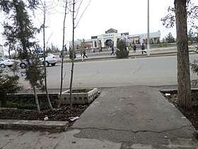
Guliston also spelled as Gulistan (Uzbek: Guliston / Гулистoн; Russian: Гулистан), formerly known as Mirzachul (Russian: Мирзачуль, until 1961), is the capital of Sirdaryo Region in eastern Uzbekistan. It lies in the southeastern part of the Mirzachül (formerly Golodnaya) steppe, 120 kilometres (75 mi) southwest of Tashkent. It has an approx. population of 77,300. The main industry in the area is cottonpicking.
Guliston Guliston / Гулистoн | |
|---|---|
    | |
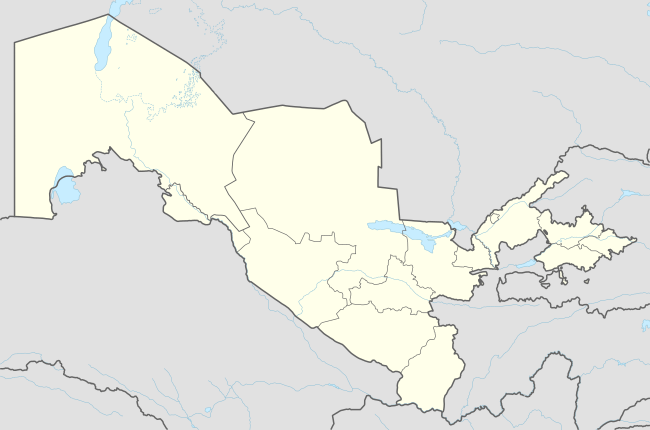 Guliston Location in Uzbekistan | |
| Coordinates: 40°29′N 68°47′E | |
| Country | |
| Region | Sirdaryo Region |
| Established | 1801 |
| Elevation | 271 m (889 ft) |
| Population (2014) | |
| • Total | 77,300 |
| Postal code | 120100 |
| Area code(s) | (+998) 672 |
Climate
| Climate data for Guliston (1981–2010) | |||||||||||||
|---|---|---|---|---|---|---|---|---|---|---|---|---|---|
| Month | Jan | Feb | Mar | Apr | May | Jun | Jul | Aug | Sep | Oct | Nov | Dec | Year |
| Average high °C (°F) | 5.0 (41.0) |
8.5 (47.3) |
15.4 (59.7) |
23.1 (73.6) |
29.0 (84.2) |
34.7 (94.5) |
36.2 (97.2) |
34.7 (94.5) |
29.5 (85.1) |
22.4 (72.3) |
14.1 (57.4) |
6.5 (43.7) |
21.6 (70.9) |
| Average low °C (°F) | −3.4 (25.9) |
−1.5 (29.3) |
3.7 (38.7) |
9.2 (48.6) |
13.7 (56.7) |
17.4 (63.3) |
18.6 (65.5) |
16.2 (61.2) |
10.7 (51.3) |
5.8 (42.4) |
1.8 (35.2) |
−2.2 (28.0) |
7.5 (45.5) |
| Average precipitation mm (inches) | 39.1 (1.54) |
46.3 (1.82) |
52.6 (2.07) |
43.8 (1.72) |
28.8 (1.13) |
6.2 (0.24) |
2.8 (0.11) |
1.3 (0.05) |
5.0 (0.20) |
18.5 (0.73) |
32.6 (1.28) |
47.3 (1.86) |
324.3 (12.75) |
| Average precipitation days | 12 | 12 | 12 | 11 | 9 | 5 | 2 | 1 | 2 | 6 | 9 | 12 | 93 |
| Source: Centre of Hydrometeorological Service of Uzbekistan[1] | |||||||||||||
References
- "Average monthly data about air temperature and precipitation in 13 regional centers of the Republic of Uzbekistan over period from 1981 to 2010". Centre of Hydrometeorological Service of the Republic of Uzbekistan (Uzhydromet). Archived from the original on 15 December 2019. Retrieved 15 December 2019.
- Guliston. (2007). In Encyclopædia Britannica. Retrieved September 28, 2007, from Encyclopædia Britannica Online: http://www.britannica.com/eb/article-9038486
Capital: Guliston | ||
| Districts and seats | 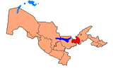 | |
| Other towns | ||
This article is issued from Wikipedia. The text is licensed under Creative Commons - Attribution - Sharealike. Additional terms may apply for the media files.