Großdubrau
Großdubrau (Upper Sorbian: Wulka Dubrawa) is a municipality in eastern Saxony, Germany. It belongs to the district of Bautzen and lies north of the eponymous city.
Großdubrau / Wulka Dubrawa | |
|---|---|
 Aerial view | |
.svg.png) Coat of arms | |
Location of Großdubrau / Wulka Dubrawa within Bautzen district  | |
 Großdubrau / Wulka Dubrawa 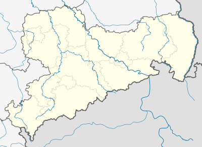 Großdubrau / Wulka Dubrawa | |
| Coordinates: 51°15′N 14°28′E | |
| Country | Germany |
| State | Saxony |
| District | Bautzen |
| Subdivisions | 20 |
| Government | |
| • Mayor | Lutz Mörbe (Ind.) |
| Area | |
| • Total | 54.22 km2 (20.93 sq mi) |
| Elevation | 156 m (512 ft) |
| Population (2018-12-31)[1] | |
| • Total | 4,248 |
| • Density | 78/km2 (200/sq mi) |
| Time zone | CET/CEST (UTC+1/+2) |
| Postal codes | 02694 |
| Dialling codes | 035934 |
| Vehicle registration | BZ, BIW, HY, KM |
| Website | www.grossdubrau.de |
The municipality is part of the recognized Sorbian settlement area in Saxony. Upper Sorbian has an official status next to German, all villages bear names in both languages.
Geography
The municipality is situated in the Upper Lusatian flatland.
Villages
Several villages belong to the municipality:
- Großdubrau with Großdubrau (Wulka Dubrawa), Kleindubrau (Mała Dubrawa), Brehmen (Brěmjo) and Crosta (Chróst)
- Commerau with Commerau (Komorow), Kauppa (Kupoj), Jetscheba (Jatřob) and Göbeln (Kobjelń)
- Klix with Klix (Klukš), Spreewiese, until 1911: Leichnam (Lichań), Särchen (Zdźar), Salga (Załhow), Neusärchen (Nowe Zdźarki)
- Quatitz with Quatitz (Chwaćicy), Dahlowitz (Dalicy), Jeschütz (Ješicy), Kronförstchen (Křiwa Boršć) and Margarethenhütte (Margarěćina hěta)
- Sdier with Sdier (Zdźěr) and Zschillichau (Čelchow)
References
- "Bevölkerung des Freistaates Sachsen jeweils am Monatsende ausgewählter Berichtsmonate nach Gemeinden" (PDF). Statistisches Landesamt des Freistaates Sachsen (in German). July 2019.
| Wikimedia Commons has media related to Großdubrau. |
This article is issued from Wikipedia. The text is licensed under Creative Commons - Attribution - Sharealike. Additional terms may apply for the media files.