Greenbrier, Warrick County, Indiana
Greenbrier is an unincorporated community in Hart Township, Warrick County, in the U.S. state of Indiana.[2]
Greenbrier | |
|---|---|
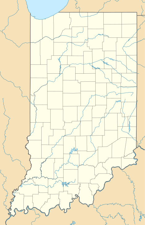 Greenbrier Greenbrier's position in Indiana | |
| Coordinates: 38°07′14″N 87°17′01″W | |
| Country | United States |
| State | Indiana |
| County | Warrick |
| Township | Hart |
| Elevation | 476 ft (145 m) |
| Time zone | UTC-6 (Central (CST)) |
| • Summer (DST) | UTC-5 (CDT) |
| ZIP code | 47601 |
| Area code(s) | 812, 930 |
| GNIS feature ID | 435425 |
History
On April 26, 2011, strong winds – probably a tornado – associated with the 2011 Super Outbreak hit Greenbrier, along Highway 61, uprooting trees, snapping power poles, and causing damages to structures.[3]
Geography
Greenbrier is located at 38°07′14″N 87°17′01″W.
References
- "US Board on Geographic Names". United States Geological Survey. October 25, 2007. Retrieved 2016-07-09.
- "Feature Detail Report for: Greenbrier, Indiana." USGS. U.S. Geological Survey Geographic Names Information System: Greenbrier, Warrick County, Indiana Retrieved April 29, 2011.
- NOAA report
Municipalities and communities of Warrick County, Indiana, United States | ||
|---|---|---|
| City | Map of Indiana highlighting Warrick County | |
| Towns | ||
| Townships | ||
| Unincorporated communities |
| |
This article is issued from Wikipedia. The text is licensed under Creative Commons - Attribution - Sharealike. Additional terms may apply for the media files.