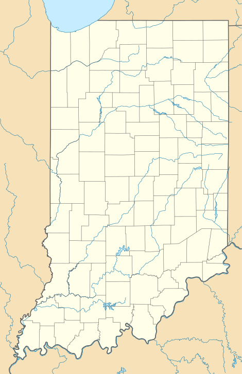
Gale, Indiana
Gale is an unincorporated community in Center Township, Hendricks County, Indiana, United States. Gale is located on the east side of Danville, just along country road 300 east.
Gale, Indiana | |
|---|---|
 Gale | |
| Coordinates: 39°46′00″N 86°28′00″W | |
| Country | |
| State | |
| County | Hendricks County |
| Township | Center Township |
| Elevation | 271 m (889 ft) |
| ZIP code | 46122 |
| GNIS feature ID | 0449493[1] |
A post office called Gale was established in 1882, and remained in operation until it was discontinued in 1906.[2]
Geography
Gale is located at 39°46′00″N 86°28′00″W at an elevation of 889 feet.
References
- "Gale". Geographic Names Information System. United States Geological Survey. Retrieved 2009-12-03.
- "Hendricks County". Jim Forte Postal History. Archived from the original on 6 October 2014. Retrieved 3 October 2014.
This article is issued from Wikipedia. The text is licensed under Creative Commons - Attribution - Sharealike. Additional terms may apply for the media files.