Gómez Plata
Gómez Plata is a town and municipality in the Colombian department of Antioquia. Part of the subregion of Northern Antioquia.
Gómez Plata | |
|---|---|
Municipality and town | |
 | |
.svg.png) Flag | |
 Location of the municipality and town of Gómez Plata in the Antioquia Department of Colombia | |
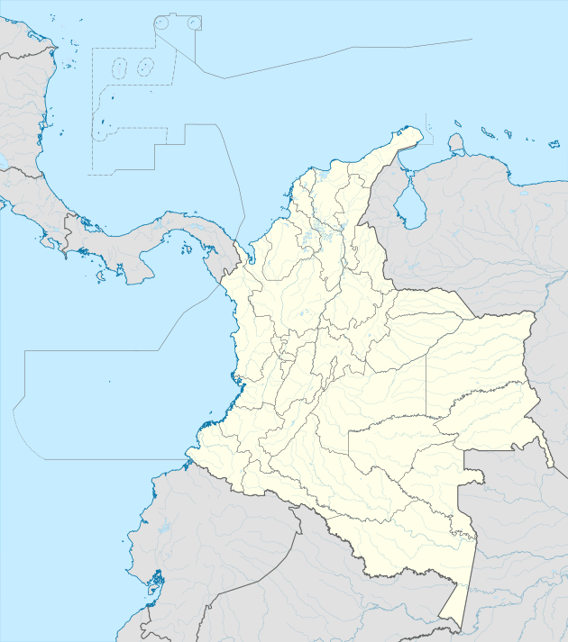 Gómez Plata Location in Colombia | |
| Coordinates: 6°40′54″N 75°13′5″W | |
| Country | |
| Department | |
| Subregion | Northern |
| Area | |
| • Total | 360 km2 (140 sq mi) |
| Population (Census 2018[2]) | |
| • Total | 8,235 |
| • Density | 23/km2 (59/sq mi) |
| Time zone | UTC-5 (Colombia Standard Time) |
Climate
Gómez Plata has a cool tropical rainforest climate (Af) due to altitude. It has very heavy rainfall year round.
| Climate data for Gómez Plata | |||||||||||||
|---|---|---|---|---|---|---|---|---|---|---|---|---|---|
| Month | Jan | Feb | Mar | Apr | May | Jun | Jul | Aug | Sep | Oct | Nov | Dec | Year |
| Average high °C (°F) | 24.5 (76.1) |
24.9 (76.8) |
25.4 (77.7) |
25.4 (77.7) |
25.1 (77.2) |
24.9 (76.8) |
25.7 (78.3) |
25.3 (77.5) |
24.8 (76.6) |
24.1 (75.4) |
23.7 (74.7) |
24.5 (76.1) |
24.9 (76.7) |
| Daily mean °C (°F) | 19.6 (67.3) |
19.9 (67.8) |
20.5 (68.9) |
20.8 (69.4) |
20.5 (68.9) |
20.1 (68.2) |
20.4 (68.7) |
20.0 (68.0) |
19.7 (67.5) |
19.6 (67.3) |
19.2 (66.6) |
19.2 (66.6) |
20.0 (67.9) |
| Average low °C (°F) | 14.8 (58.6) |
15.0 (59.0) |
15.7 (60.3) |
16.2 (61.2) |
16.0 (60.8) |
15.4 (59.7) |
15.1 (59.2) |
14.8 (58.6) |
14.7 (58.5) |
15.1 (59.2) |
14.8 (58.6) |
13.9 (57.0) |
15.1 (59.2) |
| Average rainfall mm (inches) | 83.7 (3.30) |
114.9 (4.52) |
188.5 (7.42) |
343.8 (13.54) |
438.9 (17.28) |
327.0 (12.87) |
304.7 (12.00) |
333.3 (13.12) |
406.4 (16.00) |
381.3 (15.01) |
274.2 (10.80) |
149.1 (5.87) |
3,345.8 (131.73) |
| Average rainy days | 7 | 9 | 13 | 19 | 20 | 16 | 16 | 18 | 20 | 20 | 16 | 11 | 185 |
| Source 1: [3] | |||||||||||||
| Source 2: [4] | |||||||||||||
References
- "Municipalities of Colombia". statoids. Retrieved 30 April 2020.
- "Censo Nacional de Población y Vivienda 2018" (in Spanish). DANE. Retrieved 30 April 2020.
- http://www.ideam.gov.co/documents/21021/553571/Promedios+Climatol%C3%B3gicos++1981+-+2010.xlsx/f28d0b07-1208-4a46-8ccf-bddd70fb4128
- https://en.climate-data.org/south-america/colombia/antioquia/gomez-plata-47701/?amp=true
Capital: Medellín | |||||||||||||||||||
| Regions and municipalities |
| ||||||||||||||||||
| Related topics | |||||||||||||||||||
This article is issued from Wikipedia. The text is licensed under Creative Commons - Attribution - Sharealike. Additional terms may apply for the media files.