Caramanta
Caramanta is a town and municipality in the Colombian department of Antioquia. Part of the subregion of Southwestern Antioquia.
Caramanta | |
|---|---|
Municipality and town | |
.svg.png) Flag  Seal | |
 Location of the municipality and town of Caramanta in the Antioquia Department of Colombia | |
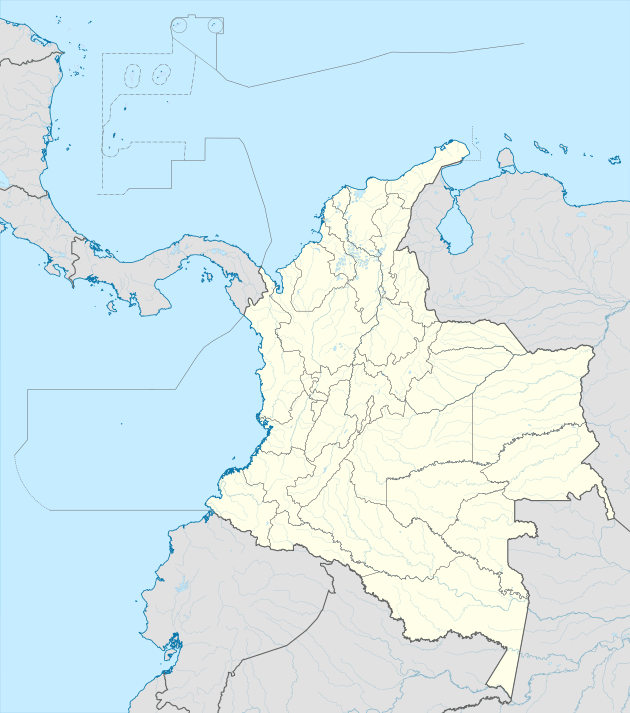 Caramanta Location in Colombia | |
| Coordinates: 5°35′N 75°35′W | |
| Country | |
| Department | |
| Subregion | Southwestern |
| Area | |
| • Total | 86 km2 (33 sq mi) |
| Population (2002) | |
| • Total | 7,771 |
| • Density | 90.5/km2 (234/sq mi) |
| Time zone | UTC-5 (Colombia Standard Time) |
Climate
Caramanta has a subtropical highland climate (Cfb). It has heavy rainfall year round.
| Climate data for Caramanta | |||||||||||||
|---|---|---|---|---|---|---|---|---|---|---|---|---|---|
| Month | Jan | Feb | Mar | Apr | May | Jun | Jul | Aug | Sep | Oct | Nov | Dec | Year |
| Average high °C (°F) | 20.9 (69.6) |
21.3 (70.3) |
21.4 (70.5) |
20.6 (69.1) |
20.8 (69.4) |
20.9 (69.6) |
21.4 (70.5) |
21.2 (70.2) |
20.9 (69.6) |
20.3 (68.5) |
20.3 (68.5) |
20.4 (68.7) |
20.9 (69.5) |
| Daily mean °C (°F) | 16.7 (62.1) |
17.1 (62.8) |
17.3 (63.1) |
16.7 (62.1) |
17.0 (62.6) |
16.9 (62.4) |
17.0 (62.6) |
17.0 (62.6) |
16.7 (62.1) |
16.4 (61.5) |
16.4 (61.5) |
16.5 (61.7) |
16.8 (62.3) |
| Average low °C (°F) | 12.6 (54.7) |
12.9 (55.2) |
13.2 (55.8) |
12.9 (55.2) |
13.3 (55.9) |
13.0 (55.4) |
12.7 (54.9) |
12.8 (55.0) |
12.6 (54.7) |
12.6 (54.7) |
12.6 (54.7) |
12.7 (54.9) |
12.8 (55.1) |
| Average rainfall mm (inches) | 123.6 (4.87) |
156.3 (6.15) |
216.8 (8.54) |
248.9 (9.80) |
283.3 (11.15) |
175.6 (6.91) |
168.6 (6.64) |
175.4 (6.91) |
253.2 (9.97) |
299.1 (11.78) |
299.4 (11.79) |
190.5 (7.50) |
2,590.7 (102.01) |
| Average rainy days | 9 | 11 | 14 | 17 | 17 | 12 | 12 | 12 | 16 | 18 | 18 | 12 | 168 |
| Source 1: [1] | |||||||||||||
| Source 2: [2] | |||||||||||||
References
Capital: Medellín | |||||||||||||||||||
| Regions and municipalities |
| ||||||||||||||||||
| Related topics | |||||||||||||||||||
This article is issued from Wikipedia. The text is licensed under Creative Commons - Attribution - Sharealike. Additional terms may apply for the media files.