Frielendorf
Frielendorf is a community in the Schwalm-Eder district, Hesse, Germany.
Frielendorf | |
|---|---|
 Coat of arms | |
Location of Frielendorf within Schwalm-Eder-Kreis district  | |
 Frielendorf 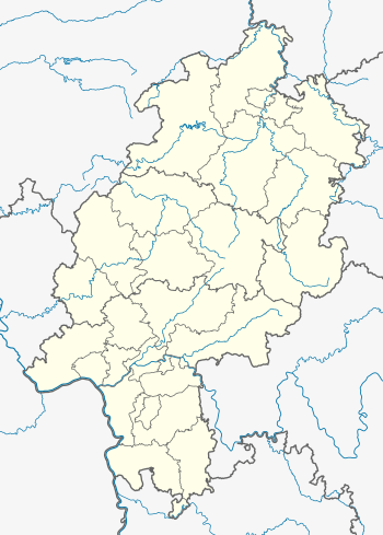 Frielendorf | |
| Coordinates: 50°59′N 09°20′E | |
| Country | Germany |
| State | Hesse |
| Admin. region | Kassel |
| District | Schwalm-Eder-Kreis |
| Government | |
| • Mayor | Birger Fey (SPD) |
| Area | |
| • Total | 85.83 km2 (33.14 sq mi) |
| Highest elevation | 260 m (850 ft) |
| Lowest elevation | 230 m (750 ft) |
| Population (2018-12-31)[1] | |
| • Total | 7,182 |
| • Density | 84/km2 (220/sq mi) |
| Time zone | CET/CEST (UTC+1/+2) |
| Postal codes | 34621 |
| Dialling codes | 05684 |
| Vehicle registration | HR,MEG,FZ |
| Website | www.frielendorf.de |
Geography
Location
The state-recognized climatic spa (Luftkurort) of Frielendorf lies 9 km southwest of Homberg on the edge of the Knüllgebirge (a low mountain range).
Constituent communities
Along with the main centre, which bears the same name as the whole municipality, the following centres are also part of Frielendorf:
|
|
|
Politics
Municipal council
Municipal council is made up of 31 members.
- CDU 8 seats
- SPD 16 seats
- FWGF (citizens' coalition) 7 seats
(as of municipal elections held on 26 March 2006)
Mayor
Birger Fey is Frielendorf's mayor.
Coat of arms
Frielendorf's civic coat of arms might heraldically be described thus: In gules a crenellated tower argent with two small arrow slits, on a three-knolled hill vert, flanked by two rye stalks Or, before the tower a bill hook sable.
Town partnership
The community of Frielendorf maintains a partnership with one other place:
Culture and sightseeing
Museums
Buildings
- In Spieskappel stands the Kirche St. Johannes (St. John's Church), consecrated in 1255 and originally belonging to the Premonstratensian church estate of Cappel. The church is usually called the Klosterkirche ("monastery church"). The church's organ was built in Hersfeld organ builder Johannes Schlottmann's workshop.
- The Spießturm is a mediaeval watchtower that can be found on the road between Spieskappel and Obergrenzebach. The tower stands at a spot where, in the Middle Ages, there was a crossroads of important trade roads; it was also at the border of Upper and Lower Hesse. Hessian Landtage (diets) were held here.
Parks
The Silbersee holiday camp lies east of Frielendorf on the lake of the same name.
Economy and infrastructure
Transport
Frielendorf lies on Federal Highway (Bundesstraße) B 254 (Homberg – Fulda). The Neuental interchange on Autobahn A 49 (Kassel – Fritzlar – Marburg) is about 11 km away.
The community belongs to the North Hesse Transport Network.
The nearest railway stations are Wabern, Schwalmstadt-Treysa and Kassel-Wilhelmshöhe.
References
- "Bevölkerungsstand am 31.12.2018". Hessisches Statistisches Landesamt (in German). July 2019.
External links
| Wikimedia Commons has media related to Frielendorf. |
Towns and municipalities in the district of Schwalm-Eder | ||
|---|---|---|
Schwalm-Eder district's coat of arms | ||
| Authority control |
|
|---|