El Carmolí
El Carmolí is an area in Los Urrutias, Cartagena municipality, in the Campo de Cartagena comarca, Region of Murcia, southeastern Spain. It used to be the site of a military air base, located near a homonymous hill in the flat Mar Menor area.[1] One noteworthy spot in the territory is a hill which name is also El Carmolí and is an ancient volcano that started erupting seven million years ago.[2]
El Carmolí | |
|---|---|
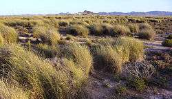 View of the El Carmolí area | |
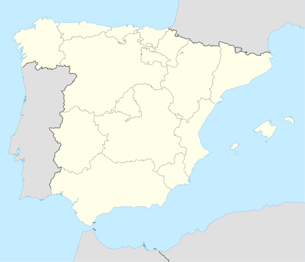 El Carmolí Location in Spain | |
| Coordinates: 37°41′N 0°52′W | |
| Country | |
| Community | Murcia |
| Comarca | Campo de Cartagena |
| Municipality | Cartagena |
| Village | Los Urrutias |
| Elevation | 2 m (7 ft) |
| Time zone | UTC+1 (CET) |
| • Summer (DST) | UTC+2 (CEST) |
The El Carmolí zone is part of a protected area called Parque Natural de Espacios Abiertos e Islas del Mar Menor.[3]
Aerodrome
A military aerodrome was built in El Carmolí before the Spanish Civil War. It was used by the Spanish Republican Air Force for its High-speed Flying School (Escuela de Vuelo de Alta Velocidad), a training facility for fighter aircraft pilots.[4] Some of the flying instructors based at El Carmolí were from the Soviet Union.[5]
After the Civil War the airfield was used by the Spanish Air Force as an eventual landing facility.[6]
References
- El-Carmoli Murcia Airport Map
- "LIG- Volcán del Carmolí - Región de Murcia Digital" (in Spanish). Retrieved 2020-05-02.
- Región de Murcia Digital - Espacios protegidos
- Memoria republicana — SBHAC. Estructura orgánica de las FARE
- Michael Alpert, The Republican Army in the Spanish Civil War, 1936-1939, p. 250
- "Ejército del Aire - Academia General del Aire (AGA)". Archived from the original on 2015-02-01. Retrieved 2015-01-11.
External links

- Listado de aeródromos de la GCE y regiones aéreas