Dobřany (Plzeň-South District)
Dobřany (Czech pronunciation: [ˈdobr̝anɪ]; German: Dobrzan, Wiesengrund) is a town in the Plzeň Region of the Czech Republic. It lies on the Radbuza River, some 5 km (3 mi) to the south-west from the region capital of Plzeň.
Dobřany | |
|---|---|
Town | |
_-_St._V%C3%ADt_Church.jpg) St. Vitus Church in Dobřany | |
_-_flag.png) Flag _-_coat_of_arms.png) Coat of arms | |
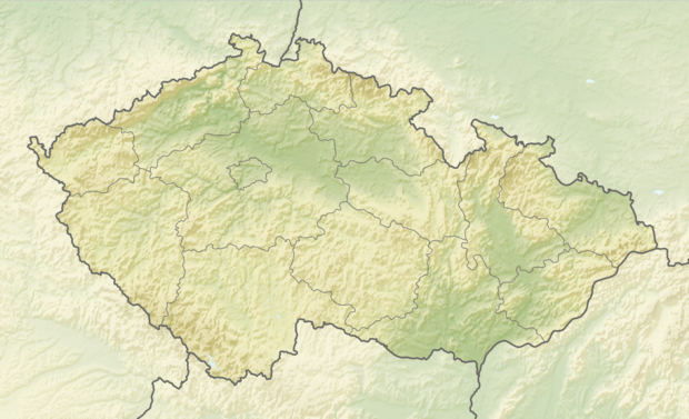 Dobřany Location in the Czech Republic | |
| Coordinates: 49°39′14″N 13°17′25″E | |
| Country | Czech Republic |
| Region | Plzeň |
| District | Plzeň-South |
| First mentioned | 13th century |
| Government | |
| • Mayor | Martin Sobotka |
| Area | |
| • Total | 35.31 km2 (13.63 sq mi) |
| Elevation | 352 m (1,155 ft) |
| Population (2019-01-01[1]) | |
| • Total | 6,154 |
| • Density | 170/km2 (450/sq mi) |
| Time zone | UTC+1 (CET) |
| • Summer (DST) | UTC+2 (CEST) |
| Postal code | 334 41 |
| Website | www.dobrany.cz |
Dobřany is also the seat of the Municipality with Commissioned Local Authority within the Stod Municipality with Extended Competence.
From 1938 to 1945 it belonged to Sudetenland in Nazi Germany; between 1939 and 1945 it was named Wiesengrund.
References
- "Population of municipalities of the Czech republic". Czech Statistical Office. Retrieved 2019-04-30.
External links
![]()
- Official website (in Czech)
| Authority control |
|
|---|
This article is issued from Wikipedia. The text is licensed under Creative Commons - Attribution - Sharealike. Additional terms may apply for the media files.