Dead Camel Mountains
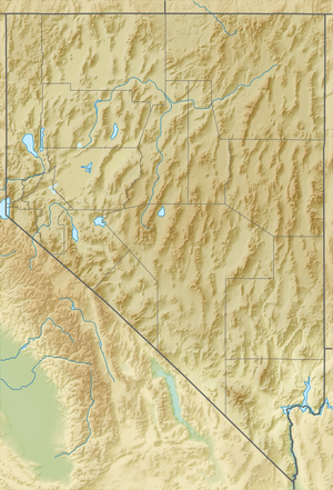
The Dead Camel Mountains are a mountain range located in western Nevada in the United States.[1] They are rather unimposing, with a maximum elevation of 4,803 feet (1,464 m). The Dead Camel mountains separate the Lahontan Reservoir from Fallon, Nevada. There are several small caves on the eastern slope of the mountains, one of which contains many pictographs left by the inhabitants of the area at the time of Lake Lahontan. This area also has some interesting tufa formations.
| Dead Camel Mountains | |
|---|---|
| Highest point | |
| Elevation | 1,464 m (4,803 ft) |
| Geography | |
| Country | United States |
| State | Nevada |
| District | Churchill County |
| Range coordinates | 39°18′37.709″N 118°57′5.558″W |
| Topo map | USGS Salt Cave |
References
- "Dead Camel Mountains". Geographic Names Information System. United States Geological Survey. Retrieved 2009-05-03.
This article is issued from Wikipedia. The text is licensed under Creative Commons - Attribution - Sharealike. Additional terms may apply for the media files.