Daulatpur, Punjab
Daulatpur chowk is a Nagar Panchayat under Ghanari Tehsil of District Una , Himachal Pradesh
Daulatpur Chowk | |
|---|---|
Town | |
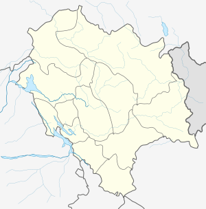 Daulatpur Chowk Location in Una District of Himachal Pradesh  Daulatpur Chowk Daulatpur Chowk (India) | |
| Coordinates: 31.8°N 75.98°E | |
| Country | |
| State | Himachal Pradesh |
| District | Una |
| Government | |
| • Body | Government of Himachal Pradesh |
| Elevation | 521 m (1,709 ft) |
| Population (2011) | |
| • Total | 4,544 |
| Languages | |
| • Official | Hindi |
| Time zone | UTC+5:30 (IST) |
Geography
Daulatpur Chowk is located at 31.8°N 75.98°E.[1] It has an average elevation of 521 metres (1709 feet).
Demographics
As of 2001 India census,[2] Daulatpur had a population of 4544. Males constitute 53% of the population and females 47%. Daulatpur has an average literacy rate of 74%, higher than the national average of 59.5%: male literacy is 78% and, female literacy is 70%. In Daulatpur, 10% of the population is under 6 years of age.
References
- Falling Rain Genomics, Inc - Daulatpur
- "Census of India 2001: Data from the 2001 Census, including cities, villages and towns (Provisional)". Census Commission of India. Archived from the original on 16 June 2004. Retrieved 1 November 2008.
This article is issued from Wikipedia. The text is licensed under Creative Commons - Attribution - Sharealike. Additional terms may apply for the media files.