Dandenong North, Victoria
Dandenong North is a suburb in Melbourne, Victoria, Australia, 27 km south-east from Melbourne's central business district. Its local government area is the City of Greater Dandenong. At the 2016 census, Dandenong North had a population of 22,451.[1]
| Dandenong North Melbourne, Victoria | |||||||||||||||
|---|---|---|---|---|---|---|---|---|---|---|---|---|---|---|---|
 Dandenong North | |||||||||||||||
| Coordinates | 37.959°S 145.208°E | ||||||||||||||
| Population | 22,451 (2016 census)[1] | ||||||||||||||
| • Density | 2,363/km2 (6,120/sq mi) | ||||||||||||||
| Postcode(s) | 3175 | ||||||||||||||
| Area | 9.5 km2 (3.7 sq mi) | ||||||||||||||
| Location | |||||||||||||||
| LGA(s) | City of Greater Dandenong | ||||||||||||||
| State electorate(s) | |||||||||||||||
| Federal Division(s) | Bruce | ||||||||||||||
| |||||||||||||||
History
Dandenong North Post Office opened on 18 July 1955 as the suburb was developed.[2]
About
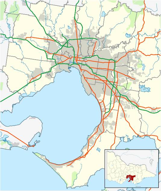
Dandenong North is situated approximately 30 kilometres from the CBD, being very close to the Monash Freeway ![]()
55% of Dandenong North residents were born overseas.
See also
- City of Dandenong - the former local government area of which Dandenong North was a part.
References
- Australian Bureau of Statistics (27 June 2017). "Dandenong North (State Suburb)". 2016 Census QuickStats. Retrieved 3 December 2017.

- Premier Postal History, Post Office List, retrieved 11 April 2008