Cornwell, California
Cornwell is a former settlement in Kings County, California.[1] It was located on the Atchison, Topeka and Santa Fe Railroad 7 miles (11 km) north of Lemoore,[2] at an elevation of 243 feet (74 m).[1] Cornwell still appeared on maps as of 1927.[1]
Cornwell | |
|---|---|
Former settlement | |
 Cornwell Location in California | |
| Coordinates: 36°23′57″N 119°46′49″W | |
| Country | |
| State | |
| County | |
| Elevation | 74 m (243 ft) |
References
- U.S. Geological Survey Geographic Names Information System: Cornwell, California
- Durham, David L. (1998). California's Geographic Names: A Gazetteer of Historic and Modern Names of the State. Clovis, Calif.: Word Dancer Press. p. 1020. ISBN 1-884995-14-4.
Municipalities and communities of Kings County, California, United States | ||
|---|---|---|
| Cities | 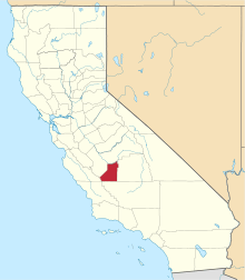 Kings County map | |
| CDPs | ||
| Unincorporated communities | ||
| Ghost towns | ||
This article is issued from Wikipedia. The text is licensed under Creative Commons - Attribution - Sharealike. Additional terms may apply for the media files.