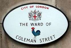
Coleman Street Ward
Coleman Street is one of the 25 ancient wards of the City of London. It gives its name to a road linking Gresham Street with London Wall.
| Ward of Coleman Street | |
|---|---|
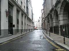 The Street after which the Ward is named | |
 Location within the City | |
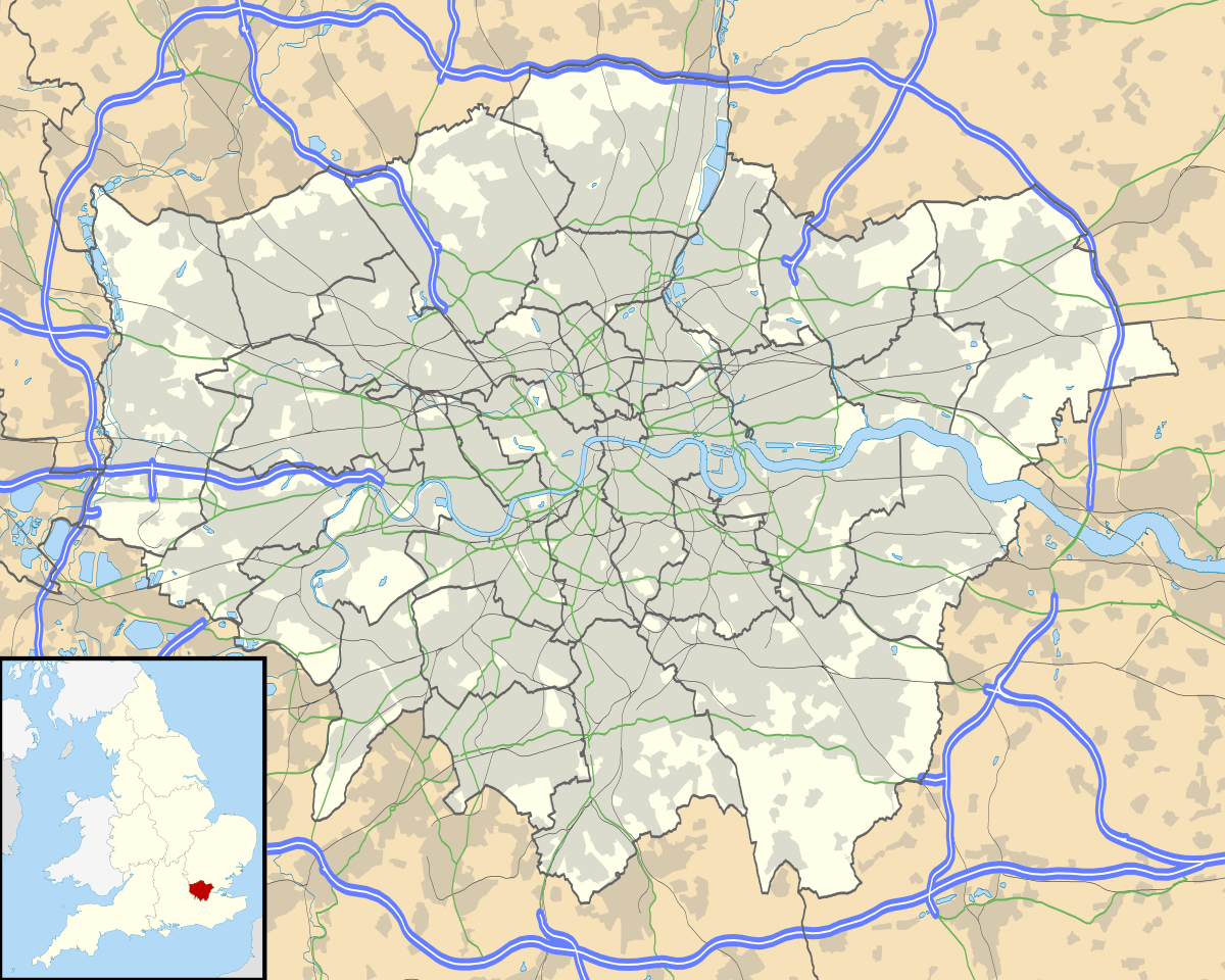 Ward of Coleman Street Location within Greater London | |
| OS grid reference | TQ328815 |
| Sui generis | |
| Administrative area | Greater London |
| Region | |
| Country | England |
| Sovereign state | United Kingdom |
| Post town | LONDON |
| Postcode district | EC4 |
| Dialling code | 020 |
| Police | City of London |
| Fire | London |
| Ambulance | London |
| UK Parliament | |
| London Assembly | |
The ward

Coleman Street borders six other wards[1] and occupies an irregular shape of land bounded to the north by Chiswell Street and Eldon Street; to the east by Blomfield Street, Copthall Avenue and a section of Moorgate; to the south by Lothbury and Gresham Street; and to the west by Basinghall Street, Coleman Street itself, Moor Lane and Silk Street.
Historically, it takes its name from the profession of charcoal burners who occupied the area in medieval times.[2] A very busy ward,[3] it has its own long established ward club[4] and newsletter.[5] Despite the bustle of business, the ward also contains the City’s "finest oasis of calm",[6] Finsbury Circus, an elliptical square with its own bowling club, is located within the ward, as is Moorgate station.[7] Warren Stormes Hale, Lord Mayor of London in 1864, was the ward's most notable civic dignitary.
Coleman Street is one of 25 wards in the City of London, each electing an alderman to the Court of Aldermen and commoners (the City equivalent of a councillor) to the Court of Common Council of the City of London Corporation. Only electors who are Freemen of the City are eligible to stand. The Alderman is Peter Estlin and the Common Councilmen are Michael Cassidy, Sophie Fernandes, Stuart Fraser and Andrew McMurtrie.[8]
The street
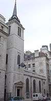
Coleman Street is a one-way road that runs from Gresham Street to London Wall. The church of St Stephen Coleman Street used to stand at the southern end of the street, on the western side, until it was completely destroyed in the Blitz and was not rebuilt. In the 17th century, St. Stephen's became a Puritan stronghold.[9][10][11] On the night of 5 January 1642, after the king's failed attempt to arrest them, five MPs, Pym, Hampden, Haselrig, Strode and Holles, hid on Coleman Street utilising the support for parliament that tended to be afforded by sympathisers in the City of London.
At the northern end of the street stands the livery hall of the Worshipful Company of Armourers and Brasiers,[12] and the pineapple-shaped headquarters of Legal & General.
References
- Bishopsgate, Broad Street, Walbrook, Cheap, Bassishaw and Cripplegate
- Book 2, Ch. 16: Coleman Street Ward in A New History of London: Including Westminster and Southwark, Noorthouck, J.: London, R. Baldwin & Co., 1773
- City of London Police Overview Archived 13 October 2007 at the Wayback Machine
- Details of Organisation
- Ward Newsletter
- Betjeman's Britain Betjeman,J : London, Folio Society, 1999 ISBN 1-85848-170-8
- Description of Locale
- Sheriff Peter Estlin (Alderman). City of London. Retrieved 30 October 2016.
- D.A. Kirby, The Radicals of St. Stephen's, Coleman Street, London, 1624-1642 (Corporation of London, 1970).
- D.A. Williams, 'London Puritanism: the parish of St Stephen's, Coleman Street', The Church Quarterly Review vol 160 (1959), pp. 464-82.
- A. Johns, 'Coleman Street', Huntington Library Quarterly, 71 part 1 (2008), pp. 33-54 (University of Chicago pdf).
- Al Smith (1970) Dictionary of City of London Street Names: 47
External links
| Wikimedia Commons has media related to Ward of Coleman Street. |
- City of London Corporation Coleman Street ward boundaries (2003 —)
- Map of Early Modern London: Coleman Street Ward - Historical Map and Encyclopedia of Shakespeare's London (Scholarly)
- Coleman Street Ward Club - A Social Club based in the City of London
| Wards |  | |
|---|---|---|
| Enclaves | ||
| Localities | ||
| Attractions |
| |
| Notable structures | ||
| Civil parishes | ||
| Bridges |
| |
| Rail and tube stations | ||
| Topics | ||
| ||