Clooney, Corcomroe
Clooney (Irish: Cluaine[1]) is a civil parish in County Clare, Ireland. It comprises the hamlets of Clooney (north and south), to the east of Lahinch.
Clooney Cluaine | |
|---|---|
Civil parish | |
 Clooney Location in Ireland | |
| Coordinates: 52°53′50″N 9°19′14″W | |
| Country | Ireland |
| Province | Munster |
| County | County Clare |
| Time zone | UTC+0 (WET) |
| • Summer (DST) | UTC-1 (IST (WEST)) |
Geography
It is part of the historical barony of Corcomroe that is situated in the north-western part of the county. It is bordered by the parish of Kilfenora to the north, Kiltoraght to the north-east, Rath to the east, Inagh to the south, Kilfarboy to the southwest, and Kilmanaheen to the west.[2] It is divided into 40 townlands: [3]
- Ardmore
- Ardrush
- Ballyculleeny
- Ballyvranneen
- Cahersherkin
- Carrownaclogh
- Clooney (North)
- Clooney (South)
- Cullenagh
- Derrymore
- Feagreen
- Garraun
- Glen (North)
- Glen (South)
- Gorteenmacnamara
- Gortkeel
- Illaunbaun
- Keelkyle
- Killeinagh
- Knockacarn
- Knockacullea (North)
- Knockacullea (South)
- Knockanulty
- Knockatullaghaun
- Knockdrummagh (North)
- Knockdrummagh (South)
- Knocknagraigue (East)
- Knocknagraigue (West)
- Knockneppy
- Knockroe
- Lavarreen
- Lisroe
- Moananagh
- Mooghna
- Renalicka
- Russa
- Spaug
- Teerleheen
- Tullagroe
- Tullaloughaun
See also
References
- "Cluaine". Placenames Database of Ireland. Retrieved 2014-04-10.
- "Map of Civil Parishes of County Clare". Clare County Library. Retrieved 9 March 2014.
- "Map of Clooney Parish (Corcomroe) showing Townlands". Clare County Library. Retrieved 9 March 2014.
Places in County Clare | ||
|---|---|---|
| Towns | 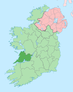 | |
| Villages |
| |
| Regions | ||
| Islands | ||
| ||
This article is issued from Wikipedia. The text is licensed under Creative Commons - Attribution - Sharealike. Additional terms may apply for the media files.