Clooney, Bunratty Upper
Clooney (Irish: Cluaine[1]) is a civil parish of County Clare, Ireland, located to the northeast of Ennis, south of Inchicronan. The area is marshy, with the Oysterman's Marsh Natural Heritage Area in the vicinity. Clooney-Quin GAA is a GAA club for the adjoining Catholic parishes of Clooney and Quin.
Clooney Cluaine | |
|---|---|
Civil parish | |
 Clooney Location in Ireland | |
| Coordinates: 52°53′58″N 8°51′42″W | |
| Country | Ireland |
| Province | Munster |
| County | County Clare |
| Time zone | UTC+0 (WET) |
| • Summer (DST) | UTC-1 (IST (WEST)) |
Geography
The civil parish of Clooney is in the barony of Bunratty Upper.[2] It is situated in the central part of the county and is bordered by Inchicronan to the north, Tulla to the east, Quin to the south, Doora to the southwest, and Kilraghtis to the west.[3] It is divided into 25 townlands: [4]
- Ballycrighan
- Ballyhickey
- Ballyvergin
- Ballyvroghaun Eighter
- Ballyvroghaun Oughter
- Caherloghan
- Cahershaughnessy
- Carrahan
- Clooney
- Corbally
- Cranagher
- Curraghmoghaun
- Derrycalliff
- Feenagh
- Kilgobban
- Knockanoura
- Knockaphreaghaun
- Lassana
- Maghera
- Moyriesk
- Muckinish
- Rathclooney
- Rylane
- Sraheen
- Toonagh
See also
References
- "Cluaine". Placenames Database of Ireland. Retrieved 2014-04-10.
- "Barony of Bunratty (Lower and Upper)". Parliamentary Gazetteer of Ireland. 1845. Retrieved 2014-03-09.
- "Map of Civil Parishes of County Clare". Clare County Library. Retrieved 9 March 2014.
- "Map of Clooney Parish (Bunratty Upper) showing Townlands". Clare County Library. Retrieved 9 March 2014.
Places in County Clare | ||
|---|---|---|
| Towns | 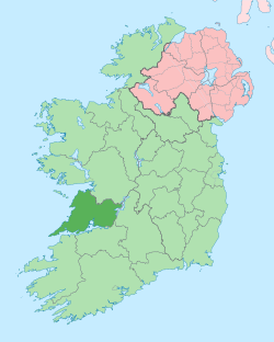 | |
| Villages |
| |
| Regions | ||
| Islands | ||
| ||
This article is issued from Wikipedia. The text is licensed under Creative Commons - Attribution - Sharealike. Additional terms may apply for the media files.