Clear Creek Township, Ashland County, Ohio
Clear Creek Township is one of the fifteen townships of Ashland County, Ohio, United States. The 2010 census found 2,276 people in the township,[3] 1,492 of whom lived in the unincorporated portions of the township.
Clear Creek Township, Ashland County, Ohio | |
|---|---|
 Sprott's Hill, an important archaeological site in the township | |
Location of Clear Creek Township in Ashland County | |
| Coordinates: 40°56′51″N 82°21′46″W | |
| Country | United States |
| State | Ohio |
| County | Ashland |
| Area | |
| • Total | 25.4 sq mi (65.7 km2) |
| • Land | 25.2 sq mi (65.2 km2) |
| • Water | 0.2 sq mi (0.5 km2) |
| Elevation | 1,109 ft (338 m) |
| Population (2010) | |
| • Total | 2,276 |
| • Density | 90/sq mi (34.9/km2) |
| Time zone | UTC-5 (Eastern (EST)) |
| • Summer (DST) | UTC-4 (EDT) |
| ZIP code | 44874 |
| Area code(s) | 419 |
| FIPS code | 39-15672[2] |
| GNIS feature ID | 1085703[1] |
Geography
Located in the northwestern part of the county, it borders the following townships:
- Ruggles Township - north
- Orange Township - east
- Montgomery Township - southeast corner
- Milton Township - south
- Weller Township, Richland County - southwest corner
- Butler Township, Richland County - west
Two villages are located in Clear Creek Township: Bailey Lakes in the east, and Savannah in the northeast.
Name and history
It is the only Clear Creek Township statewide.[4]
Government
The township is governed by a three-member board of trustees, who are elected in November of odd-numbered years to a four-year term beginning on the following January 1. Two are elected in the year after the presidential election and one is elected in the year before it. There is also an elected township fiscal officer,[5] who serves a four-year term beginning on April 1 of the year after the election, which is held in November of the year before the presidential election. Vacancies in the fiscal officership or on the board of trustees are filled by the remaining trustees.
References
- "US Board on Geographic Names". United States Geological Survey. 2007-10-25. Retrieved 2008-01-31.
- "U.S. Census website". United States Census Bureau. Retrieved 2008-01-31.
- "Geographic Identifiers: 2010 Demographic Profile Data (G001): Clear Creek township, Ashland County, Ohio". U.S. Census Bureau, American Factfinder. Archived from the original on February 12, 2020. Retrieved July 5, 2013.
- "Detailed map of Ohio" (PDF). United States Census Bureau. 2000. Retrieved 2007-02-16.
- §503.24, §505.01, and §507.01 of the Ohio Revised Code. Accessed 4/30/2009.
External links
Municipalities and communities of Ashland County, Ohio, United States | ||
|---|---|---|
| City | 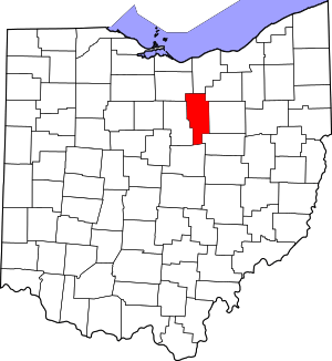 Map of Ohio highlighting Ashland County | |
| Villages | ||
| Townships | ||
| CDP | ||
| Unincorporated communities | ||
| Footnotes | ‡This populated place also has portions in an adjacent county or counties | |
| Authority control |
|
|---|