Chestnut Street, Kent
Chestnut Street is a settlement to the west of Sittingbourne in the Borough of Swale, Kent, England.
| Chestnut Street | |
|---|---|
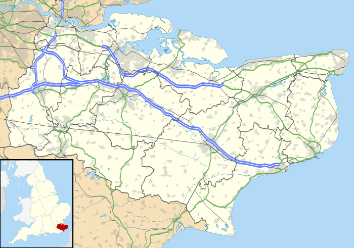 Chestnut Street Location within Kent | |
| District | |
| Shire county | |
| Region | |
| Country | England |
| Sovereign state | United Kingdom |
| Post town | Sittingbourne |
| Postcode district | ME9 |
| Police | Kent |
| Fire | Kent |
| Ambulance | South East Coast |
It is located on the former A249 road alignment, between the junction with the A2 road near Key Street and Danaway. The A249, a dual carriageway since the 1990s, avoids Chestnut Street. Its postal address is Chestnut Street, Borden, Kent; that village is a mile (1.6 km) to the east.
There are a number of Grade II listed buildings in the hamlet, including Hooks Hole, Old Houses, Dumbles, Tudor Rose Cottage, Oldstede, and Chestnut Street Farmhouse.[1]
References
- "Chestnut Street Farmhouse, Borden". www.britishlistedbuildings.co.uk. Retrieved 20 February 2014.
External links
This article is issued from Wikipedia. The text is licensed under Creative Commons - Attribution - Sharealike. Additional terms may apply for the media files.