Chepino Saddle
Chepino Saddle (Bulgarian: Чепинска седловина, ‘Chepinska Sedlovina’ \'che-pin-ska se-dlo-vi-'na\) is the saddle of elevation 2500 m in north-central Sentinel Range in Ellsworth Mountains, Antarctica, linking Probuda Ridge to the southwest to Bangey Heights to the northeast. It is part of the glacial divide between Embree Glacier to the north and Ellen Glacier to the south.
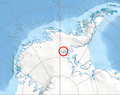
Location of Sentinel Range in Western Antarctica.

Sentinel Range map.
The saddle is named after the settlement of Chepino in Western Bulgaria and the homonymous Chepino Valley in Southern Bulgaria.
Location
Chepino Saddle is centred at 78°05′44″S 85°45′13″W. US mapping in 1961, updated in 1988.
Maps
- Vinson Massif. Scale 1:250 000 topographic map. Reston, Virginia: US Geological Survey, 1988.
- Antarctic Digital Database (ADD). Scale 1:250000 topographic map of Antarctica. Scientific Committee on Antarctic Research (SCAR). Since 1993, regularly updated.
References
- Chepino Saddle. SCAR Composite Antarctic Gazetteer.
- Bulgarian Antarctic Gazetteer. Antarctic Place-names Commission. (details in Bulgarian, basic data in English)
External links
- Chepino Saddle. Copernix satellite image
This article includes information from the Antarctic Place-names Commission of Bulgaria which is used with permission.
| General |
| .svg.png) |
|---|---|---|
| Geographic regions | ||
| Waterways | ||
| Famous explorers | ||
This article is issued from Wikipedia. The text is licensed under Creative Commons - Attribution - Sharealike. Additional terms may apply for the media files.