Canova, New Mexico
Canova is an unincorporated community and census-designated place in Rio Arriba County, New Mexico, United States. Its population was 118 as of the 2010 census.[1] The community is located on the west bank of the Rio Grande. It is named after the extensive irrigation in the area, as it means "sluice" in Spanish.[3]
Canova, New Mexico | |
|---|---|
 Canova | |
| Coordinates: 36°09′33″N 105°59′06″W | |
| Country | United States |
| State | New Mexico |
| County | Rio Arriba |
| Area | |
| • Total | 0.864 sq mi (2.24 km2) |
| • Land | 0.845 sq mi (2.19 km2) |
| • Water | 0.019 sq mi (0.05 km2) |
| Elevation | 5,774 ft (1,760 m) |
| Population | |
| • Total | 118 |
| • Density | 140/sq mi (53/km2) |
| Time zone | UTC-7 (Mountain (MST)) |
| • Summer (DST) | UTC-6 (MDT) |
| Area code(s) | 505 |
| GNIS feature ID | 904725[2] |
Geography
Canova is located at 36.1591896°N 105.9850213°W.[2] According to the U.S. Census Bureau, the community has an area of 0.864 square miles (2.24 km2); 0.845 square miles (2.19 km2) of its area is land, and 0.019 square miles (0.049 km2) is water.[1]
References
- "2010 Census Gazetteer Files - Places: New Mexico". U.S. Census Bureau. Retrieved December 31, 2016.
- "Canova". Geographic Names Information System. United States Geological Survey.
- Julyan, Robert (1996). The Place Names of New Mexico. University of New Mexico Press. p. 188. ISBN 0826316891.
Municipalities and communities of Rio Arriba County, New Mexico, United States | ||
|---|---|---|
| City | 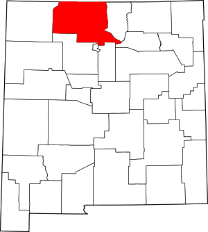 Map of New Mexico highlighting Rio Arriba County | |
| Village | ||
| CDPs |
| |
| Other unincorporated communities | ||
| Ghost towns and former settlements | ||
| Indian reservations | ||
| Footnotes | ‡This populated place also has portions in an adjacent county or counties | |
This article is issued from Wikipedia. The text is licensed under Creative Commons - Attribution - Sharealike. Additional terms may apply for the media files.