Camooweal
Camooweal is a small town and locality in the City of Mount Isa, Queensland, Australia.[2][3]
| Camooweal Queensland | |||||||||||||||
|---|---|---|---|---|---|---|---|---|---|---|---|---|---|---|---|
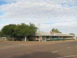 Post Office Hotel, Camooweal, 2011 | |||||||||||||||
 Camooweal | |||||||||||||||
| Coordinates | 19°55′S 138°07′E | ||||||||||||||
| Population | 208 (2016 census)[1] | ||||||||||||||
| Established | 1884 | ||||||||||||||
| Postcode(s) | 4828 | ||||||||||||||
| Elevation | 231.2 m (759 ft) | ||||||||||||||
| Location | |||||||||||||||
| LGA(s) | City of Mount Isa | ||||||||||||||
| State electorate(s) | Traeger | ||||||||||||||
| Federal Division(s) | Kennedy | ||||||||||||||
| |||||||||||||||
| |||||||||||||||
Geography
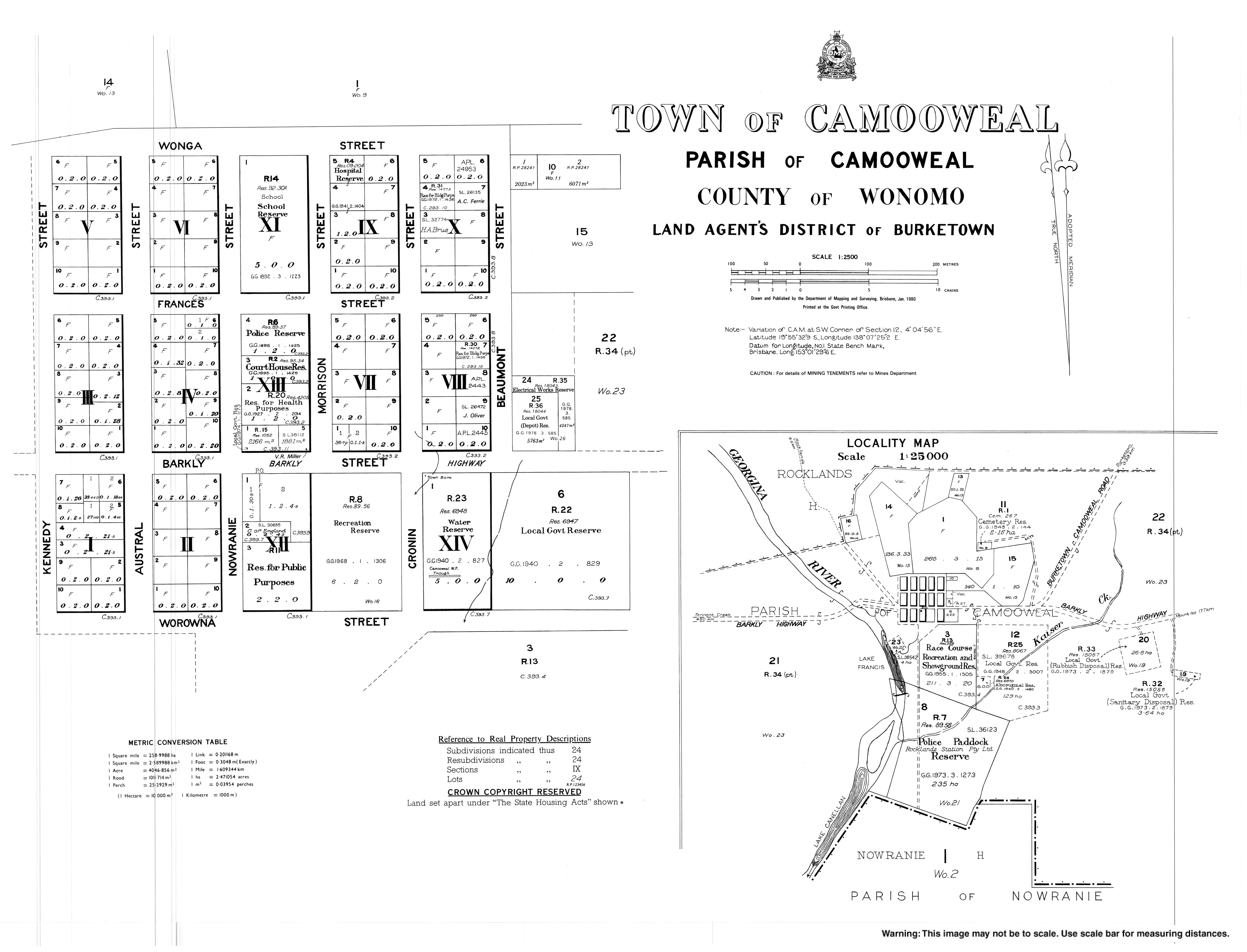
Camooweal is in north-western Queensland, Australia, located 169 kilometres (105 mi) north-west of the city of Mount Isa and 12 km (7.5 mi) east of the Northern Territory border. The town lies on the Barkly Highway, and is adjacent to the Georgina River.
History
The area was originally inhabited by the Indjilandji Indigenous Australians.[4][5] The town is said to take its name from surveyor Mr GT Weale, who was apparently the first person to bring camels into the area,[6] although this has been questioned.[7]
William Landsborough in 1861 named the Barkly Tablelands after the Governor of Victoria, His Excellency, Sir Henry Barkly. The first settler to the area was John Sutherland, who took up the Rocklands lease in 1865. Stock losses to the local dingos and wedge-tailed eagles; lack of water and isolation soon forced him to abandon his lease. The Englishmen Benjamin Crosthwaite and William Tetley, who were marginally more successful, took up the lease again in 1876.
The initial town was gazetted in 1884 to be built on a 4-square-mile (10 km2) plot by Lake Francis. A year later the present site was re-gazetted and Camooweal Post Office opened on 27 April 1885.[8] Other milestones for the town were the addition of a police station in 1886, opening of a provisional school in 1893, drilling of the town bore in 1897 and the arrival of electricity in 1952.
On 2 January 1931, a Qantas Air Ambulance from the Royal Flying Doctor Service of Australia flown by E.G. Donaldson rescued a man in Camooweal and delivered him to Brisbane.
The road through Camooweal to the Northern Territory was the inland defence route for World War II. This road was built by army engineers and carried over 1000 vehicles a day and there are numerous historical sites marked along the road.
At the 2011 census, Camooweal had a population of 187.[9]
Heritage listings
Camooweal has a number of heritage-listed sites, including:
- Barkly Highway: Community Hall[10]
- Barkly Highway: Tree of Knowledge[11]
- Barkly Street: Freckleton's Stores[12]
- Rocklands Station: Hodgkinson's Marked Tree[13]
Amenities
Along the main road (the Barkly Highway) there are several caravan stops or van parks which will take mobile homes and tents. There is an airstrip that is used by the Royal Flying Doctor Service to bring medical services to the town.
Australian country musician Slim Dusty recorded a song written by David Kirkpatrick and Alex "Mack" Cormack entitled simply Camooweal which features this town.[14]
Climate
| Climate data for Camooweal (Camooweal Township 1891-2016) | |||||||||||||
|---|---|---|---|---|---|---|---|---|---|---|---|---|---|
| Month | Jan | Feb | Mar | Apr | May | Jun | Jul | Aug | Sep | Oct | Nov | Dec | Year |
| Record high °C (°F) | 46.0 (114.8) |
45.5 (113.9) |
42.8 (109.0) |
40.0 (104.0) |
38.4 (101.1) |
35.6 (96.1) |
35.7 (96.3) |
37.3 (99.1) |
41.0 (105.8) |
44.0 (111.2) |
44.5 (112.1) |
46.6 (115.9) |
46.6 (115.9) |
| Average high °C (°F) | 37.3 (99.1) |
36.3 (97.3) |
35.3 (95.5) |
33.0 (91.4) |
29.0 (84.2) |
26.0 (78.8) |
25.8 (78.4) |
28.4 (83.1) |
32.4 (90.3) |
35.8 (96.4) |
37.6 (99.7) |
38.0 (100.4) |
32.9 (91.2) |
| Average low °C (°F) | 24.3 (75.7) |
23.7 (74.7) |
21.8 (71.2) |
18.0 (64.4) |
13.5 (56.3) |
9.9 (49.8) |
8.8 (47.8) |
10.9 (51.6) |
15.2 (59.4) |
19.5 (67.1) |
22.4 (72.3) |
23.8 (74.8) |
17.7 (63.9) |
| Record low °C (°F) | 13.5 (56.3) |
12.8 (55.0) |
10.0 (50.0) |
4.4 (39.9) |
2.4 (36.3) |
−2.2 (28.0) |
−0.3 (31.5) |
0.0 (32.0) |
3.9 (39.0) |
5.7 (42.3) |
11.4 (52.5) |
14.4 (57.9) |
−2.2 (28.0) |
| Average rainfall mm (inches) | 98.8 (3.89) |
93.0 (3.66) |
55.5 (2.19) |
14.2 (0.56) |
10.9 (0.43) |
10.0 (0.39) |
5.5 (0.22) |
3.0 (0.12) |
6.5 (0.26) |
13.7 (0.54) |
29.3 (1.15) |
62.9 (2.48) |
403.3 (15.89) |
| Average rainy days | 8.4 | 8.2 | 5.4 | 1.6 | 1.3 | 1.1 | 0.9 | 0.5 | 1.2 | 2.6 | 4.4 | 6.4 | 42 |
| Source: Australian Bureau of Meteorology[15] | |||||||||||||
Notes and references
- Australian Bureau of Statistics (27 June 2017). "Camooweal (State Suburb)". 2016 Census QuickStats. Retrieved 29 January 2018.

- "Camooweal - town (entry 5880)". Queensland Place Names. Queensland Government. Retrieved 8 July 2016.
- "Camooweal - locality (entry 42312)". Queensland Place Names. Queensland Government. Retrieved 8 July 2016.
- Roberts, Tony Frontier Justice: A history of the Gulf Country to 1900, UQP, 2005, p 3, ISBN 978-0-7022-3361-6
- "Archived copy" (PDF). Archived from the original (PDF) on 27 February 2012. Retrieved 14 February 2012.CS1 maint: archived copy as title (link)
- "Archived copy". Archived from the original on 8 January 2014. Retrieved 13 February 2012.CS1 maint: archived copy as title (link)
- "North-western Reminiscences". The Queenslander. Queensland, Australia. 23 February 1933. p. 4. Retrieved 10 April 2020 – via Trove.
- Premier Postal History. "Post Office List". Premier Postal Auctions. Archived from the original on 15 May 2014. Retrieved 10 May 2014.
- "2011 Census QuickStats: Camooweal (State Suburb)". Australian Bureau of Statistics. 21 June 2012. Archived from the original on 24 October 2013. Retrieved 19 July 2012.
- "Community Hall, Camooweal (entry 600740)". Queensland Heritage Register. Queensland Heritage Council. Retrieved 11 July 2013.
- "Tree of Knowledge (entry 600738)". Queensland Heritage Register. Queensland Heritage Council. Retrieved 11 July 2013.
- "Freckleton's Stores (entry 600739)". Queensland Heritage Register. Queensland Heritage Council. Retrieved 11 July 2013.
- "Hodgkinson's Marked Tree (entry 600741)". Queensland Heritage Register. Queensland Heritage Council. Retrieved 11 July 2013.
- "Camooweal: Slim Dusty". musixmatch. 5 December 2013. Retrieved 22 July 2016.
- "Climate statistics for Camooweal". Australian Bureau of Meteorology. Archived from the original on 20 December 2016. Retrieved 18 December 2016.
External links
![]()