Calzada Larga Airport
Calzada Larga Airport is a general aviation airport serving Caimitillo, a town in the Panamá Province of Panama.
Calzada Larga Airport | |||||||||||
|---|---|---|---|---|---|---|---|---|---|---|---|
| Summary | |||||||||||
| Airport type | Public | ||||||||||
| Serves | Caimitillo, Panama | ||||||||||
| Elevation AMSL | 394 ft / 120 m | ||||||||||
| Coordinates | 9°10′00″N 79°32′43″W | ||||||||||
| Map | |||||||||||
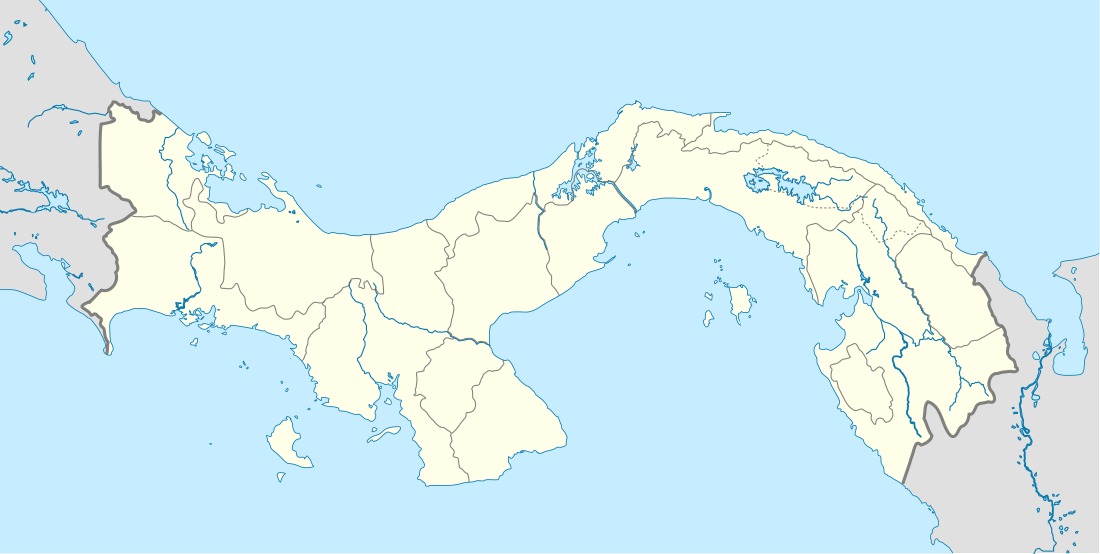 MP23 Location in Panama | |||||||||||
| Runways | |||||||||||
| |||||||||||
The Tocumen VOR-DME (Ident: TUM) is located 11.0 nautical miles (20.4 km) southeast of the airport.[4]
History
During World War II the facility was used as part of the defense of the Panama Canal. The USAAF XXVI Fighter Command 29th Fighter Squadron used the airfield from 17 May 1942 – 25 March 1944, flying A-24 Dauntless dive bombers. The squadron flew antisubmarine patrols from the field. In addition various Air Commando units from Albrook Field used the airfield flying training missions with CG-4A Waco gliders and P-51 Mustangs.[5][6]
References
- Airport information for Calzada Larga Airport at Great Circle Mapper.
- Airport information for Calzada Larga Airport at World Aero Data. Data current as of October 2006.
- "Caimitillo". Google Maps. Google. Retrieved 26 November 2018.
- "Tocumen VOR". Our Airports. Retrieved 26 November 2018.
- Maurer, Maurer, ed. (1982) [1969]. Combat Squadrons of the Air Force, World War II (PDF) (reprint ed.). Washington, DC: Office of Air Force History. ISBN 0-405-12194-6. LCCN 70605402. OCLC 72556.
- Maurer, Maurer (1983). Air Force Combat Units of World War II. Maxwell AFB, Alabama: Office of Air Force History. ISBN 0-89201-092-4.
![]()
External links
Previously: Panama Canal Air Force (1940-1941); Caribbean Air Force (1941-1942) | |||||||||||||||
| Airfields |
| .jpg) | |||||||||||||
| Units |
| ||||||||||||||