Calf Top
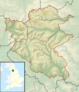
Calf Top is an armchair-shaped hill, reclassified as a mountain in September 2016, in the western part of the Yorkshire Dales, England. It is located in the county of Cumbria, although Lancashire and North Yorkshire are not far away. The hill is a dominating profile in the view from many of the smaller hills to its west, such as Lambrigg Fell and Hutton Roof Crags.
| Calf Top | |
|---|---|
 Calf Top | |
| Highest point | |
| Elevation | 610 m (2000 ft) |
| Prominence | 312 m[1] |
| Parent peak | Whernside |
| Listing | Marilyn, Dewey |
| Coordinates | 54°15′55″N 2°31′00″W |
| Geography | |
| Location | Yorkshire Dales, England |
| OS grid | SD 66449 85624 |
| Topo map | OS Landranger 98 |
The height was formerly shown on Ordnance Survey maps as 609 metres. The closeness of this figure to 609.6 metres, or 2000 feet, led to the summit being surveyed using precision GPS and levelling equipment.[2][3] The height was found to be 609.58 ± 0.1m, or fractionally below 2,000 feet. The result was discussed with the authors of the Nuttalls, Hewitts and Deweys who all agreed that the hill should retain its current status as a member of Dewey's list of hills at least 500 metres but less than 609.6 metres high.[4] Current OS maps show the height rounded to 610 metres. The Ordnance Survey recalculated the height of the mountain in 2016 using the OSTN15/OSGM15 transformation to a height of 609.606 metres updating the status from hill to mountain.[5]
Calf Top is separated from its neighbours, Great Coum and Aye Gill Pike by the deep trench of Barbondale, meaning that although it is lower than most of the hills in its region, it has high relative height and is a Marilyn.
Calf Top is best climbed from Barbon to its south-west, passing over its subsidiary summits of Eskholme Pike (307m) and Castle Knott (538m). The return should be made the same way as there are no field paths to relieve the trudge back down the valley on tarmac.
Walkers from Barbon should take the footpath east from Eskholme. After passing through a gate and climbing up the hillside look for a prominent cairn to the left on Eskholme Pike. This lies alongside an easy and clear track leading directly to the summit, a short distance north of the indistinct line of the right of way.
References
- Database of British and Irish Hills v13.2. Retrieved 28 August 2013.
- First survey of Calf Top
- Second survey of Calf Top
- Is Calf Top a new 2000ft mountain?
- "Calf Top – England's last mountain - Ordnance Survey Blog". Ordnance Survey. 2016-09-08. Retrieved 2016-09-13.
Marilyns of Northern England | ||
|---|---|---|
| 1. Northumberland |  | |
| 2. Northern Lakeland | ||
| 3. Western Lakeland | ||
| 4. Central and Southern Lakeland |
| |
| 5. Eastern Lakeland | ||
| 6. North Pennines and Durham | ||
| 7. Northern Yorkshire Dales | ||
| 8. Southern Yorkshire Dales | ||
| 9. North York Moors to the Humber | ||
| 10. Forest of Bowland |
| |