Berth Hill
Berth Hill is an Iron Age hillfort in Staffordshire, England, about 5 miles (8.0 km) south-west of Newcastle-under-Lyme, and near the village of Maer. It is a scheduled monument.[1] Other forms of its name have been Bryth, Bruff and Burgh Hill.[2]
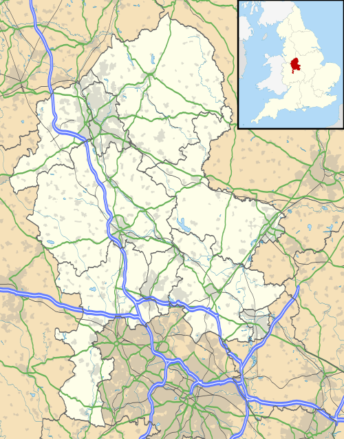 Shown within Staffordshire | |
| Location | Near Newcastle-under-Lyme, Staffordshire grid reference SJ 788 390 |
|---|---|
| Coordinates | 52°56′53″N 2°19′3″W |
| Type | Hillfort |
| Length | 320 metres (1,050 ft) |
| Width | 150 metres (490 ft) |
| Area | 3.75 hectares (9.3 acres) |
| History | |
| Periods | Iron Age |
The fort is on a sandstone outcrop at the south-east edge of Maer Hills. The defences, following the contours of the hill, have an irregular shape. Their length is 320 metres (1,050 ft) north-west to south-east, and the width is 150 metres (490 ft), enclosing an area of about 3.75 hectares (9.3 acres).[1][2]
The rampart, of earth and stone, is up to 15 metres (49 ft) wide and 0.8 metres (2.6 ft) above the interior. In the north the slope is less steep than elsewhere, and there is a second rampart outside this, width 10 metres (33 ft). There are two original entrances: an inturned entrance in the south-west, and an entrance at the north end of the east defences. There is a spring on the eastern side of the interior.[1][2]
Results of excavations in 1966 and 1975 have been interpreted as showing an early period of occupation, followed by a long interval of disuse (suggested by ditches containing silt and parts of collapsed rampart), and later a hurried reconstruction of the defences.[2]
See also
References
- Historic England. "Multivallate hillfort at Berth Hill (1009771)". National Heritage List for England. Retrieved 3 September 2019.
- Historic England. "Monument no. 74227 (74227)". PastScape. Retrieved 3 September 2019.