Benbradagh
Benbradagh (from Irish Binn Bhradach, meaning 'thief's peak')[2] is a mountain in Drumsurn County Londonderry, Northern Ireland. It is the second most northerly summit in the Sperrin Mountains area and the 564th highest summit in Ireland.[1] It rises to 465 metres (1,526 ft) and lies to the east of Dungiven. It was used from the 1940s to the early 1970s as a United States Military Base[3] It is popular with paragliders due to the steep terrain. The mountain is accessible via the Curragh Road which stops near the summit.
| Benbradagh | |
|---|---|
| Binn Bhradach | |
 Benbradagh Mountain as seen from Derryork, in October 2008 | |
| Highest point | |
| Elevation | 465 m (1,526 ft) [1] |
| Prominence | 171 m (561 ft) [1] |
| Coordinates | 54°56′40″N 6°52′27″W [1] |
| Geography | |
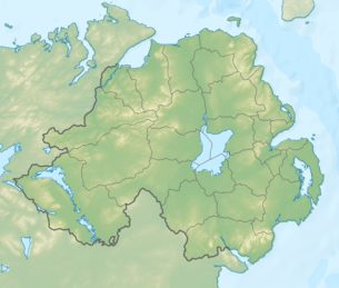 Location in Northern Ireland  Benbradagh (island of Ireland) 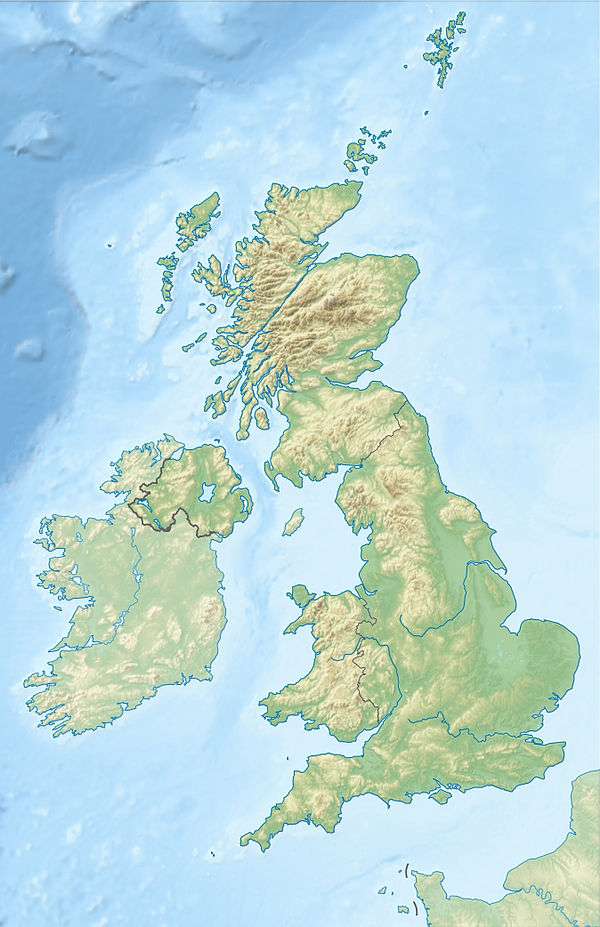 Benbradagh (the United Kingdom) | |
| Location | County Londonderry, Northern Ireland |
| Parent range | Sperrin Mountains |
| OSI/OSNI grid | C7219411337 |
| Topo map | OSNI Discoverer Series 13 The Sperrins (1:50000), OSNI Activity Map Sperrins (1:25000) |
References
- "Benbradagh". MountainViews. Retrieved 13 December 2008.
- "Binn Bhradach". Placenames Database of Ireland. Retrieved 12 January 2010.
- http://www.virtualvisittours.com/benbradagh-mountain/
Mountains and hills of Ulster | ||
|---|---|---|
| Antrim Hills |  | |
| Antrim Plateau | ||
| Belfast Hills | ||
| Croaghgorms | ||
| Derryveagh | ||
| Inishowen | ||
| Mournes | ||
| Sperrins | ||
| Southwest Donegal | ||
| Others | ||
This article is issued from Wikipedia. The text is licensed under Creative Commons - Attribution - Sharealike. Additional terms may apply for the media files.