Balliang, Victoria
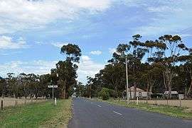
Balliang is a locality in Victoria, Australia. It is divided between the Shire of Moorabool and City of Greater Geelong local government areas. It lies north of Geelong and 54 kilometres (34 mi) from the state capital, Melbourne. At the 2016 census, Balliang had a population of 290.[1]
| Balliang Victoria | |||||||||||||||
|---|---|---|---|---|---|---|---|---|---|---|---|---|---|---|---|
 Balliang | |||||||||||||||
 Balliang | |||||||||||||||
| Coordinates | 37°50′0″S 144°22′0″E | ||||||||||||||
| Population | 290 (2016 census)[1] | ||||||||||||||
| Postcode(s) | 3340 | ||||||||||||||
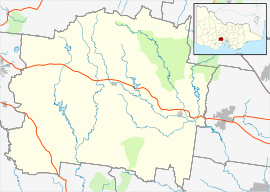
| Location |
| ||||||||||||||
| LGA(s) | |||||||||||||||
| State electorate(s) | |||||||||||||||
| Federal Division(s) | |||||||||||||||
| |||||||||||||||
The locality was named for a house in Geelong owned by Foster Fyans, which was in turn named for Balliang (or Ballyang), who was an Aboriginal leader employed by Fyans.[2] Balliang Post Office opened on 23 June 1910 and closed in 1968.[3]
References
- Australian Bureau of Statistics (27 June 2017). "Balliang (State Suburb)". 2016 Census QuickStats. Retrieved 9 July 2017.

- "Balliang, Shire of Moorabool, Victoria, Australia". Prahran Mechanics' Institute. Archived from the original on 21 July 2008. Retrieved 13 November 2008.
- Premier Postal History. "Post Office List". Retrieved 11 April 2008.
| Wikimedia Commons has media related to Balliang, Victoria. |
This article is issued from Wikipedia. The text is licensed under Creative Commons - Attribution - Sharealike. Additional terms may apply for the media files.