Bakani
Bakani is a census town in Jhalawar district in the state of Rajasthan, India. Bakani is 42 kilometres (26 mi) from its district headquarters, Jhalawar.
Bakani | |
|---|---|
city | |
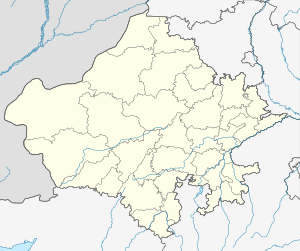 Bakani Location in Rajasthan, India  Bakani Bakani (India) | |
| Coordinates: 24.28°N 76.23°E[1] | |
| Country | |
| State | Rajasthan |
| District | Jhalawar |
| Elevation | 354 m (1,161 ft) |
| Population (2001) | |
| • Total | 17,938 |
| Languages | |
| • Official | Hindi |
| Time zone | UTC+5:30 (IST) |
| 326022 | 326022 |
| ISO 3166 code | RJ-IN |
Demographics
As of 2001 India census,[2] Bakani had a population of 17938. Males constitute 52% of the population and females 48%. Bakani has an literacy rate of 65%, higher than the national average of 59.5%; with 62% of the males and 38% of females literate. 16% of the population is under 6 years of age. Khera is nearest village in Bakani. This village is popular in education, agriculture crop orange, garlic and onion.
References
- Falling Rain Genomics, Inc - Bakani
- "Rajasthsan" (PDF). Census of India. 2001. Retrieved 19 April 2010.
This article is issued from Wikipedia. The text is licensed under Creative Commons - Attribution - Sharealike. Additional terms may apply for the media files.