Athelstane, Wisconsin
Athelstane is a town in Marinette County, Wisconsin, United States. The population was 601 at the 2000 census. The unincorporated community of Athelstane is located in the town.
Athelstane, Wisconsin | |
|---|---|
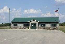 Town hall | |
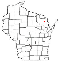 Location of Athelstane, Wisconsin | |
| Coordinates: 45°28′43″N 88°9′38″W | |
| Country | |
| State | |
| County | Marinette |
| Area | |
| • Total | 107.0 sq mi (277.0 km2) |
| • Land | 106.2 sq mi (275.0 km2) |
| • Water | 0.8 sq mi (2.0 km2) |
| Elevation | 1,040 ft (317 m) |
| Population (2000) | |
| • Total | 601 |
| • Density | 5.7/sq mi (2.2/km2) |
| Time zone | UTC-6 (Central (CST)) |
| • Summer (DST) | UTC-5 (CDT) |
| FIPS code | 55-03525[2] |
| GNIS feature ID | 1582726[1] |
History
The name Athelstane is derived from the Scottish word athelstane, meaning Athel's stone.[3]
Geography
According to the United States Census Bureau, the town has a total area of 107.0 square miles (277.1 km²), of which, 106.2 square miles (275.0 km²) of it is land and 0.8 square miles (2.0 km²) of it (0.74%) is water.
Demographics
At the 2000 census there were 601 people in 270 households, including 179 families, in the town. The population density was 5.7 people per square mile (2.2/km²). There were 995 housing units at an average density of 9.4 per square mile (3.6/km²). The racial makeup of the town was 98.34% White, 0.50% African American, 0.67% Native American, and 0.50% from two or more races. Hispanic or Latino of any race were 0.67%.[2]
Of the 270 households 15.6% had children under the age of 18 living with them, 54.4% were married couples living together, 8.5% had a female householder with no husband present, and 33.7% were non-families. 30.0% of households were one person and 11.5% were one person aged 65 or older. The average household size was 2.23 and the average family size was 2.72.
The age distribution was 18.8% under the age of 18, 6.0% from 18 to 24, 20.3% from 25 to 44, 35.1% from 45 to 64, and 19.8% 65 or older. The median age was 49 years. For every 100 females, there were 103.0 males. For every 100 females age 18 and over, there were 106.8 males.
The median household income was $29,602 and the median family income was $38,269. Males had a median income of $26,875 versus $19,375 for females. The per capita income for the town was $18,394. About 12.1% of families and 13.0% of the population were below the poverty line, including 29.7% of those under age 18 and 9.7% of those age 65 or over.
References
- "US Board on Geographic Names". United States Geological Survey. 2007-10-25. Retrieved 2008-01-31.
- "U.S. Census website". United States Census Bureau. Retrieved 2008-01-31.
- Gard, Robert (2015). The Romance of Wisconsin Place Names (2nd ed.). Madison, WI: Wisconsin Historical Society Press. p. 14. ISBN 978-0-87020-707-5.
External links
Municipalities and communities of Marinette County, Wisconsin, United States | ||
|---|---|---|
| Cities | 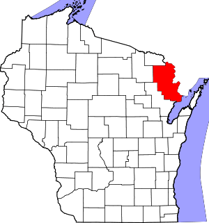 | |
| Villages | ||
| Towns | ||
| CDPs | ||
| Unincorporated communities | ||
| Footnotes | ‡This populated place also has portions in an adjacent county or counties | |