Andrade, California
Andrade (formerly, Cantu)[1] is a small locale in the southeasternmost corner of the state of California, in Imperial County. The community is located entirely within the Fort Yuma Indian Reservation. It is directly across the border from Los Algodones, the northernmost town of the municipality of Mexicali, in Baja California, and in all of Mexico. The ZIP Code is 92283. The community is inside area code 760.
Andrade | |
|---|---|
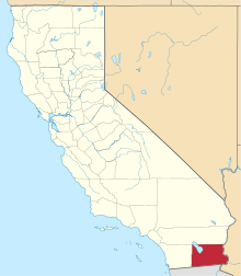
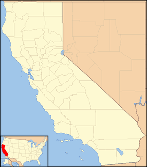 Andrade Location in California  Andrade Andrade (the United States) | |
| Coordinates: 32°43′33″N 114°43′33″W | |
| Country | United States |
| State | California |
| County | Imperial County |
| Elevation | 138 ft (42 m) |
History
Pilot Knob Station served as a stop on the San Antonio-San Diego Mail Line and Butterfield Overland Stage line and its successors until the railroad arrived in 1877.[2] The Pilot Knob Station was located at what is now Andrade, near the bank of the Colorado River at the foot of Pilot Knob, for which it was named.
Andrade is named after Mexican General Guillermo Andrade. The General sold the land for the settlement to the California Development Company. The town was named in 1912 with establishment of the post office.[3]
A post office operated at Andrade from 1909 to 1910 and from 1912 to 1942.[2] The name Cantu commemorated Col. Esteban Cantu, governor of the northernmost district of Baja California from 1915 to 1920.[2]

In 2000, it had a population of 59, 74.6% of whom were Hispanic or Latino.[4] In 2016, the Sleepy Hollow RV Park in Andrade was closed by its owner, the Quechan Indian Tribe, over poor water quality.[5]
Climate
This area has a large amount of sunshine year round due to its stable descending air and high pressure. According to the Köppen Climate Classification system, Andrade has a desert climate, abbreviated "BWh" on climate maps.[6]
References
- U.S. Geological Survey Geographic Names Information System: Andrade, California
- Durham, David L. (1998). California's Geographic Names: A Gazetteer of Historic and Modern Names of the State. Clovis, Calif.: Word Dancer Press. p. 1389. ISBN 1-884995-14-4.
- Gudde, Erwin; William Bright (2004). California Place Names (Fourth ed.). University of California Press. p. 13. ISBN 0-520-24217-3.
- The entire population of Andrade is located within Block 2591, Block Group 2, Census Tract 124, Imperial County, California. Population figures are from US Census U.S. Census website .
- Sleepy Hollow RV park nearly cleared out
- Climate Summary for Andrade, California