Akkelpur Upazila
Akkelpur (Bengali: আক্কেলপুর) is an upazila of Joypurhat District in the division of Rajshahi, Bangladesh.[1]
Akkelpur আক্কেলপুর | |
|---|---|
Upazila | |
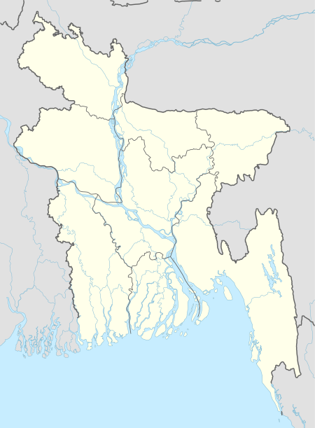
 Akkelpur Location in Bangladesh | |
| Coordinates: 24°58.5′N 89°1.2′E | |
| Country | |
| Division | Rajshahi Division |
| District | Joypurhat District |
| Area | |
| • Total | 139.47 km2 (53.85 sq mi) |
| Elevation | 44 m (144 ft) |
| Population (1991) | |
| • Total | 126,046 |
| • Density | 900/km2 (2,300/sq mi) |
| Time zone | UTC+6 (BST) |
| Website | Official Map of Akkelpur |
Geography
Akkelpur is located at 24.9750°N 89.0208°E, with a total area of 139.47 km². It is the smallest upazila in Joypurhat Zila.
Demographics
At the 1991 Bangladesh census, Akkelpur had a population of 126,046, in 24,475 households. Males constituted 52.9% of the population, and females 47.1%. The population aged 18 or older was 68,033. Akkelpur had an average literacy rate of 34% (7+ years), against the national average of 32.4%.[2]
Administration
Akkelpur has 5 unions/wards, 116 mauzas/mahallas, and 158 villages.
Union Council Parishads include Raikali, Tilakpur.
See also
- Upazilas of Bangladesh
- Districts of Bangladesh
- Divisions of Bangladesh
References
- Shanaz Parveen (2012), "Akkelpur Upazila", in Sirajul Islam and Ahmed A. Jamal (ed.), Banglapedia: National Encyclopedia of Bangladesh (Second ed.), Asiatic Society of Bangladesh
- "Population Census Wing, BBS". Archived from the original on 2005-03-27. Retrieved November 10, 2006.
This article is issued from Wikipedia. The text is licensed under Creative Commons - Attribution - Sharealike. Additional terms may apply for the media files.
