1972 Ruisui earthquake
The 1972 Ruisui earthquake (also known as the 1972 Juisui earthquake) occurred on April 24 at 17:57 local time. The magnitude of this earthquake was given as Ms 7.2[1] by the United States Geological Survey and ML 6.9 by the Central Weather Bureau of Taiwan.[2] The epicenter was located near Ruisui Township, Hualien County, Taiwan. The intensity was shindo 4 in Taipei and Hualien.[3] Five people were reported dead. The Ruisui Bridge (Chinese: 瑞穗大橋) was destroyed.[4] The water treatment plant in Ruisui was damaged.
 | |
| UTC time | 1972-04-24 09:57:21 |
|---|---|
| ISC event | 774714 |
| USGS-ANSS | ComCat |
| Local date | April 24, 1972 |
| Local time | 17:57:21 |
| Magnitude | 7.2 Ms |
| Depth | 15 km |
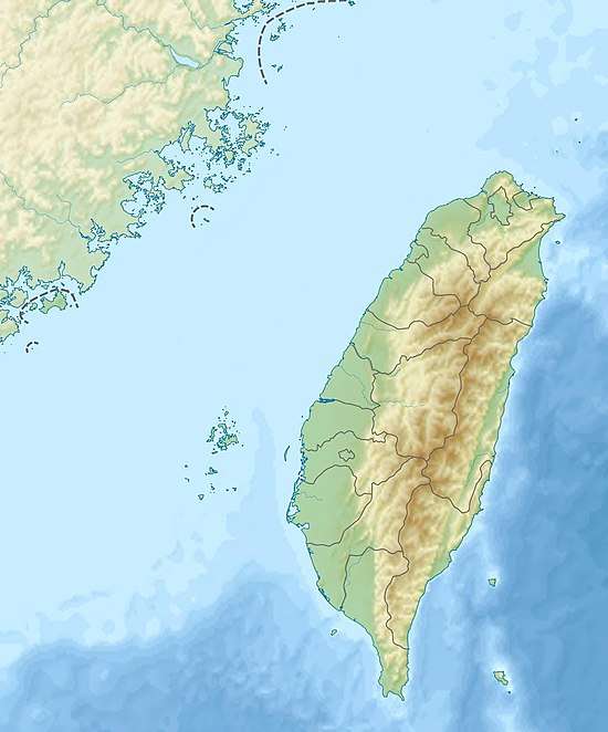
| Epicenter | 23.5°N 121.4°E |
| Areas affected | Taiwan |
| Casualties | 5 |
This earthquake was caused by the Juisui Fault with a vertical movement of 70 centimeters (28 in).[5][6] The Juisui Fault is a segment of the 150 kilometers (93 mi) long Longitudinal Valley Fault, which is a left-lateral fault with a reverse component.[7] The boundary between the Eurasian Plate and the Philippine Plate lies along the Longitudinal Valley Fault.[8]
See also
- Huatung Valley (or Longitudinal Valley)
- List of earthquakes in 1972
- List of earthquakes in Taiwan
References
- "Tectonic Summary Magnitude 7.6 TAIWAN 1999 September 20 17:47:18 UTC". USGS Earthquake Hazard Program. Archived from the original on 2010-01-18. Retrieved 2010-12-29.
- "地震百問" (PDF) (in Chinese). Archived from the original (PDF) on 2010-12-25. Retrieved 2010-12-29.
- "台灣的地震與防災教育" (PDF) (in Chinese). Archived from the original (PDF) on 2012-03-16. Retrieved 2010-12-29.
- "瑞 穗 鄉 志 大 事 記" (PDF) (in Chinese). Archived from the original (PDF) on 2011-08-15. Retrieved 2010-12-29.
- "表1-3:花蓮縣地震斷層概況" (in Chinese). Archived from the original on 2011-08-17. Retrieved 2010-12-29.
- "unknown" (PDF) (in Chinese). Archived from the original (PDF) on 2020-05-30.
- http://twgeoref.moeacgs.gov.tw/storage/2008%5C20080070/eab.pdf%5B%5D
- Hickman, John B; Wiltschko, David V; Hung, Jih-Hao; Fang, Peng; Bock, Yehuda (2002), "Structure and evolution of the active fold-and-thrust belt of southwestern Taiwan from Global Positioning System analysis", Special Paper 358: Geology and geophysics of an arc-continent collision, Taiwan, 358, p. 75, doi:10.1130/0-8137-2358-2.75, ISBN 978-0-8137-2358-7
External links
- The International Seismological Centre has a bibliography and/or authoritative data for this event.