Župa dubrovačka
Župa Dubrovačka is a municipality and a valley located in Dubrovnik-Neretva County in south-eastern Croatia. It has 8,331 inhabitants, 93% of which are Croats.
Župa Dubrovačka | |
|---|---|
Municipality | |
| Općina Župa dubrovačka Župa Dubrovačka Municipality | |
 | |
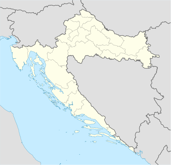 Župa Dubrovačka Location of Župa dubrovačka in Croatia | |
| Coordinates: 42°37′N 18°11′E | |
| Country | |
| County | |
| Government | |
| • Municipal mayor | Silvio Nardelli |
| Area | |
| • Total | 22.87 km2 (8.83 sq mi) |
| Population (2011) | |
| • Total | 8,331 |
| • Density | 360/km2 (940/sq mi) |
| Time zone | UTC+1 (CET) |
| • Summer (DST) | UTC+2 (CEST) |
| Postal code | 20207 |
| Area code(s) | 020 |
Župa dubrovačka stretches between Dubrovnik, the old Ragusa in the west and Cavtat, the ancient Epidaurus in the east, between the settlements of Dubac and Plat. The three islands Supetar, Mrkan and Bobara anchored right in front of the bay protect it from the open sea and from the north the hilly slopes of the Upper Župa. Tourist resorts are clustered along the coast. Župa dubrovačka is underdeveloped municipality which is statistically classified as the First Category Area of Special State Concern by the Government of Croatia.[2]
| Wikimedia Commons has media related to Župa dubrovačka. |
References
- "Općine na područjima posebne državne skrbi Republike Hrvatske" (PDF). Croatian Chamber of Economy. Retrieved 15 April 2020.
- Lovrinčević, Željko; Davor, Mikulić; Budak, Jelena (June 2004). "AREAS OF SPECIAL STATE CONCERN IN CROATIA- REGIONAL DEVELOPMENT DIFFERENCES AND THE DEMOGRAPHIC AND EDUCATIONAL CHARACTERISTICS". Ekonomski pregled, Vol.55 No.5-6. Retrieved 25 August 2018.
Subdivisions of Dubrovnik-Neretva County | ||
|---|---|---|
| Cities and towns |  Coat of arms of Dubrovnik-Neretva County | |
| Municipalities | ||
| Authority control |
|
|---|
This article is issued from Wikipedia. The text is licensed under Creative Commons - Attribution - Sharealike. Additional terms may apply for the media files.