Újezd u Svatého Kříže
Újezd u Svatého Kříže is a village and municipality (obec) in Rokycany District in the Plzeň Region of the Czech Republic.
Újezd u Svatého Kříže | |
|---|---|
Municipality | |
 Flag  Coat of arms | |
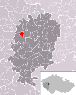 Location within Rokycany District | |
 Újezd u Svatého Kříže Location within Czech Republic | |
| Coordinates: 49°51′36″N 13°34′10″E | |
| Country | |
| Region | Plzeň |
| District | Rokycany |
| Area | |
| • Total | 4.35 km2 (1.68 sq mi) |
| Elevation | 430 m (1,410 ft) |
| Population (2008-12-31) | |
| • Total | 238 |
| • Density | 55/km2 (140/sq mi) |
| Postal code | 338 26 |
| Website | http://ujezdusvatehokrize.rokycansko.cz |
The municipality covers an area of 4.35 square kilometres (1.68 sq mi), and has a population of 238 (as of 31 December 2008).
Újezd u Svatého Kříže lies approximately 13 kilometres (8 mi) north of Rokycany, 19 km (12 mi) north-east of Plzeň, and 67 km (42 mi) west of Prague.
This article is issued from Wikipedia. The text is licensed under Creative Commons - Attribution - Sharealike. Additional terms may apply for the media files.