Zuwarah Airport
| Zuwarah Airport Zwara | |||||||||||
|---|---|---|---|---|---|---|---|---|---|---|---|
| Summary | |||||||||||
| Airport type | Public | ||||||||||
| Serves | Zuwarah | ||||||||||
| Elevation AMSL | 9 ft / 3 m | ||||||||||
| Coordinates | 32°57′10″N 12°01′00″E / 32.95278°N 12.01667°ECoordinates: 32°57′10″N 12°01′00″E / 32.95278°N 12.01667°E | ||||||||||
| Map | |||||||||||
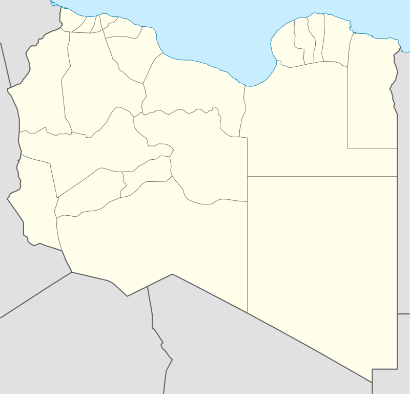 WAX Location of the airport in Libya | |||||||||||
| Runways | |||||||||||
| |||||||||||
Zuwarah Airport (IATA: WAX, ICAO: HLZW) is an airport serving the Mediterranean coastal city of Zuwarah in Libya. The airport is 4 kilometres (2.5 mi) west of the city.
The Zawia VOR-DME (Ident: ZAW) is located 33.5 nautical miles (62.0 km) east-southeast of the airport. The Zwara non-directional beacon (Ident: ZAR) is located on the field.[3][4]
See also


- Transport in Libya
- List of airports in Libya
References
- ↑ Google Maps - Zuwarah
- ↑ Airport information for Zwara Airport at Great Circle Mapper.
- ↑ "Zwara NDB". Our Airports. Retrieved 9 September 2018.
- ↑ "Zawia VOR". Our Airports. Retrieved 9 September 2018.
External links
- OpenStreetMap - Zwara
- OurAirports - Zwara Airport
- Accident history for Zwara Airport at Aviation Safety Network
- Google Earth
This article is issued from
Wikipedia.
The text is licensed under Creative Commons - Attribution - Sharealike.
Additional terms may apply for the media files.