Ghat Airport
| Ghat Airport مطار الغاط | |||||||||||||||
|---|---|---|---|---|---|---|---|---|---|---|---|---|---|---|---|
| Summary | |||||||||||||||
| Airport type | Public/Military | ||||||||||||||
| Serves | Ghat, Libya | ||||||||||||||
| Location | Fezzan | ||||||||||||||
| Elevation AMSL | 2,296 ft / 700 m | ||||||||||||||
| Coordinates | 25°08′20″N 10°08′40″E / 25.13889°N 10.14444°ECoordinates: 25°08′20″N 10°08′40″E / 25.13889°N 10.14444°E | ||||||||||||||
| Map | |||||||||||||||
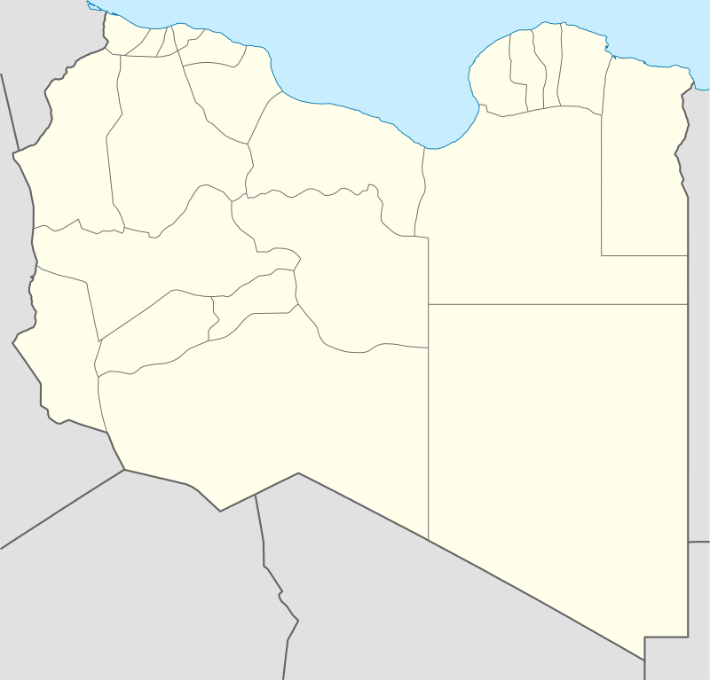 GHT Location within Libya | |||||||||||||||
| Runways | |||||||||||||||
| |||||||||||||||
Ghat Airport (IATA: GHT, ICAO: HLGT) is an airport 18 kilometres (11 mi) north of Ghat, the capital of Ghat District in Libya.
Rwy 17/35 length includes displaced thresholds of 700 metres (2,300 ft) on the south end, and 515 metres (1,690 ft) on the north.
The Ghat non-directional beacon (Ident: GHT) is located 2.6 nautical miles (4.8 km) north of the airport. The Ghat VOR-DME (Ident: GHT) is located on the field.[4][5]
Airlines and destinations
| Airlines | Destinations |
|---|---|
| Libyan Airlines | Tripoli |
See also
References
- ↑ Airport information for Ghat Airport at Great Circle Mapper.
- ↑ Google Maps - Ghat
- ↑ "Ghat Airport". SkyVector. Retrieved 10 September 2018.
- ↑ "Ghat VOR". Our Airports. Retrieved 10 September 2018.
- ↑ "Ghat NDB". Our Airports. Retrieved 10 September 2018.
External links
- OpenStreetMap - Ghat
- FlightStats - Ghat Airport
- OurAirports - Ghat Airport
- Accident history for GHT at Aviation Safety Network
- Airport information for HLGT at World Aero Data. Data current as of October 2006.
This article is issued from
Wikipedia.
The text is licensed under Creative Commons - Attribution - Sharealike.
Additional terms may apply for the media files.