Yukhari Askipara
Coordinates: 41°03′58″N 45°01′24″E / 41.06611°N 45.02333°E
| Yuxarı Əskipara Վերին Ոսկեպար (Verin Voskepar) | |
|---|---|
 Yuxarı Əskipara | |
| Coordinates: 41°03′58″N 45°01′24″E / 41.06611°N 45.02333°E | |
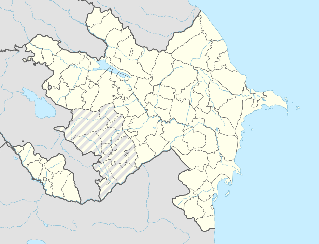
| Country | Azerbaijan (Occupied by Armenia) |
| Rayon | Qazakh |
| Time zone | UTC+4 (AZT) |
| • Summer (DST) | UTC+5 (AZT) |
Yukhari Askipara (also Okari-Eskipara, Armenian: Վերին Ոսկեպար Verin Voskepar – all meaning "Upper Askipara") is a destroyed village within the Tavush Marz of Armenia. It is an exclave of the Qazakh Rayon of Azerbaijan. The exclave is surrounded by Armenia and has been controlled by it since the Nagorno-Karabakh War which also included fighting in Qazakh. Today, the village is destroyed with only the foundations and some lower portions of the houses remaining.[1] A cemetery is intact as is a children's playground used by the residents of neighboring Voskepar. The Armenian army expelled its Azerbaijani population after it occupied the territory, which Armenia administers as part of its Tavush Province.
References
- ↑ Kiesling, Brady; Raffi Kojian (2001). Rediscovering Armenia: an archaeological/touristic gazetteer and map set for the historical monuments of Armenia. Tigran Mets. p. 69. ISBN 9993052280.
.svg.png)