Yundool
| Yundool Victoria | |||||||||||||||
|---|---|---|---|---|---|---|---|---|---|---|---|---|---|---|---|
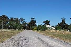 Yundool Road | |||||||||||||||
 Yundool | |||||||||||||||
| Coordinates | 36°15′59″S 145°48′58″E / 36.26639°S 145.81611°ECoordinates: 36°15′59″S 145°48′58″E / 36.26639°S 145.81611°E | ||||||||||||||
| Postcode(s) | 3727 | ||||||||||||||
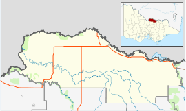
| LGA(s) | Shire of Moira | ||||||||||||||
| State electorate(s) | Ovens Valley | ||||||||||||||
| Federal Division(s) | Indi | ||||||||||||||
| |||||||||||||||
Yundool is a locality in northern Victoria, Australia in the local government area of Shire of Moira.
Yundool post office opened on 15 November 1886, closed on 4 April 1912, reopened on 27 October 1913 and was closed on 26 April 1985.[1]
References
- ↑ Premier Postal History, Post Office List, retrieved 2011-12-09
External links
![]()
This article is issued from
Wikipedia.
The text is licensed under Creative Commons - Attribution - Sharealike.
Additional terms may apply for the media files.