Yanggu County, Gangwon
| Yanggu 양구군 | ||
|---|---|---|
| County | ||
| Korean transcription(s) | ||
| • Hangul | 양구군 | |
| • Hanja | 楊口郡 | |
| • Revised Romanization | Yanggu-gun | |
| • McCune-Reischauer | Yanggu-gun | |
| ||
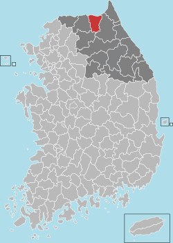 Location in South Korea | ||
| Country |
| |
| Region | Gwandong | |
| Administrative divisions | 1 eup, 4 myeon | |
| Area | ||
| • Total | 700.8 km2 (270.6 sq mi) | |
| Population (2000) | ||
| • Total | 24,027 | |
| • Density | 34/km2 (90/sq mi) | |
| • Dialect | Gangwon | |

Yanggu County (Yanggu-gun) is a county in Gangwon Province, South Korea.
The northern part of Yanggu County was part of the front line for much of the Korean War, and now borders the Demilitarized Zone. Several Korean War battle sites are located in Yanggu County, including Bloody Ridge, Heartbreak Ridge, and Hill 1179 (Daeusan).
Yanggu is located in what is claimed to be the geographic center of the Korean peninsula. Dochon-ri village in Nam-myeon[1] in Yanggu is called the "navel of Korea".[2]
Sister cities


References
External links

Coordinates: 38°06′29″N 127°59′22″E / 38.107952°N 127.989507°E
This article is issued from
Wikipedia.
The text is licensed under Creative Commons - Attribution - Sharealike.
Additional terms may apply for the media files.